Sunday, August 3rd
After Andy filled our water tanks and I did some vacuuming (my kitties are shedding big time), we went exploring some of the forest roads for down and dead firewood. Yes, we found lots and now we are good for a while.
After lunch, we went on the Self Guided Auto Tour about the 1959 Earthquake.
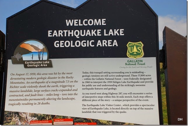
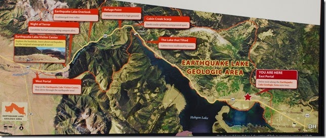
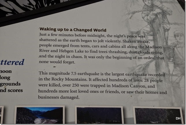
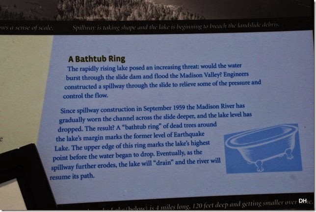
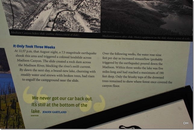
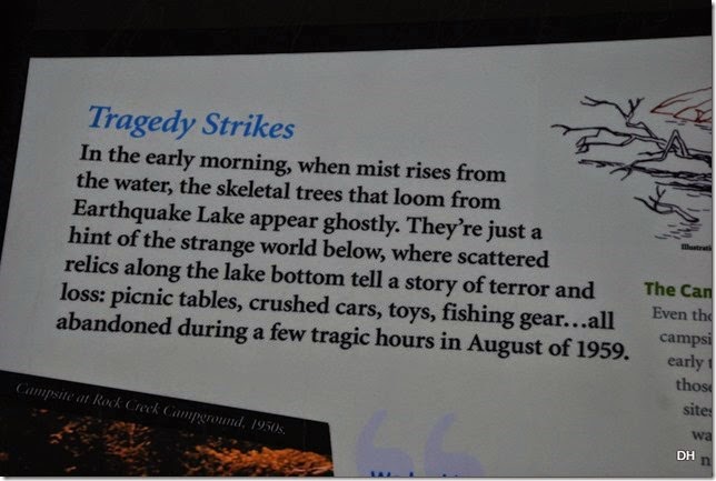
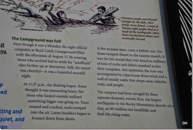
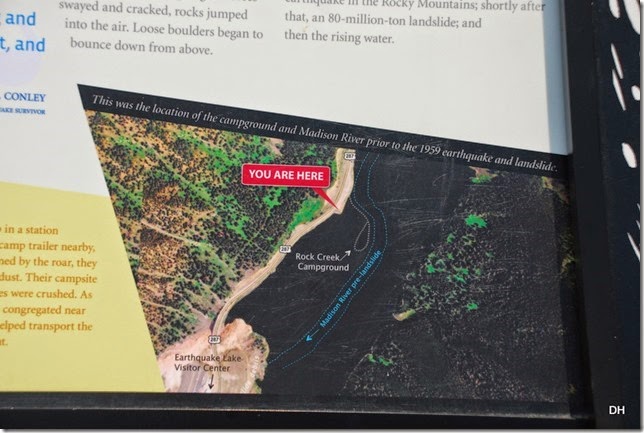
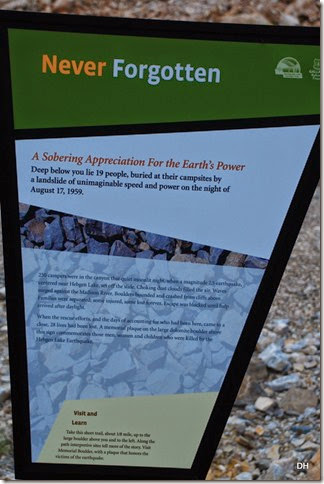
Our first stop was the East Portal where we learned a little about the Earthquake and the area:
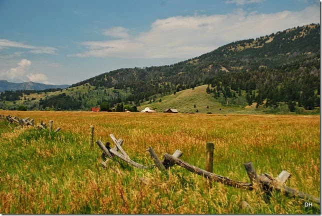
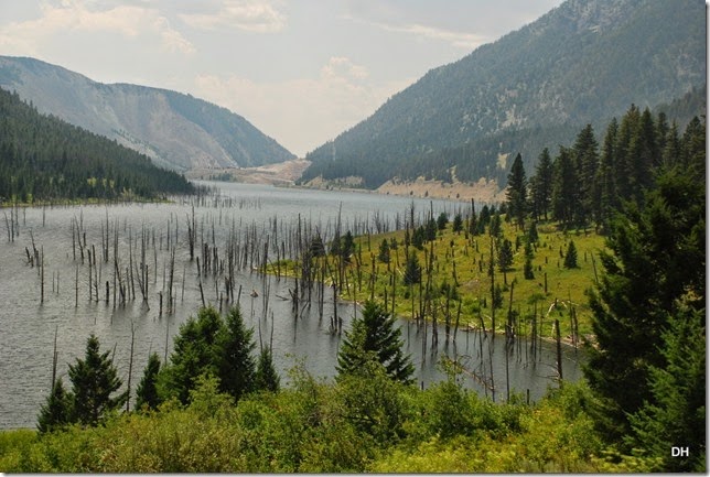
The views in that area:
Our second stop was to see the Red Canyon Fault Scarp. This segment ruptured 19 feet during the 1959 quake, extending 13 miles. A fault scarp is a cliff-like break in the ground created by movement along a fault.
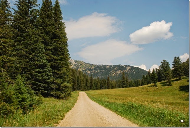
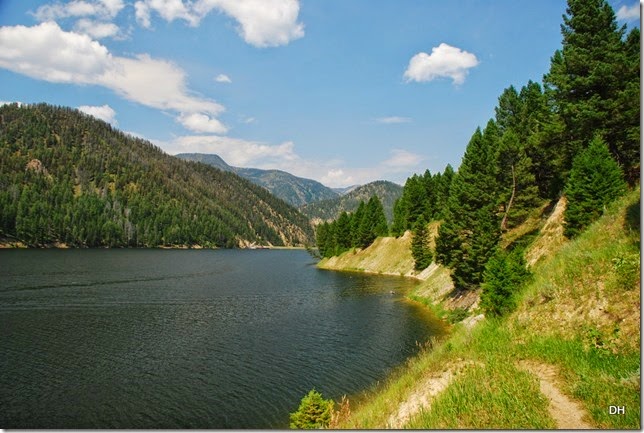
To get there we had to first drive 3 miles on a dirt road to the trail head. A very pretty drive:
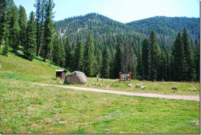
We arrived at the trail head and realized we did not bring bear spray. I decided I did not want to take a chance especially since we were the only ones there.
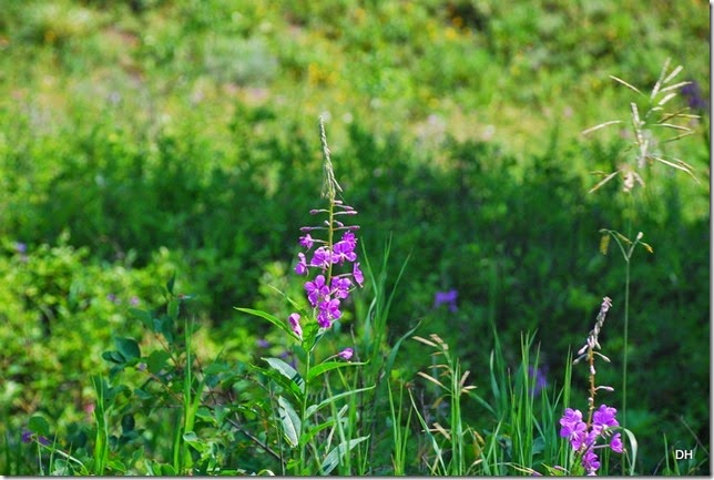
But we did see some beautiful wildflowers all over:
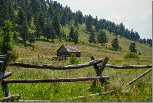
And interesting cabins along the way:
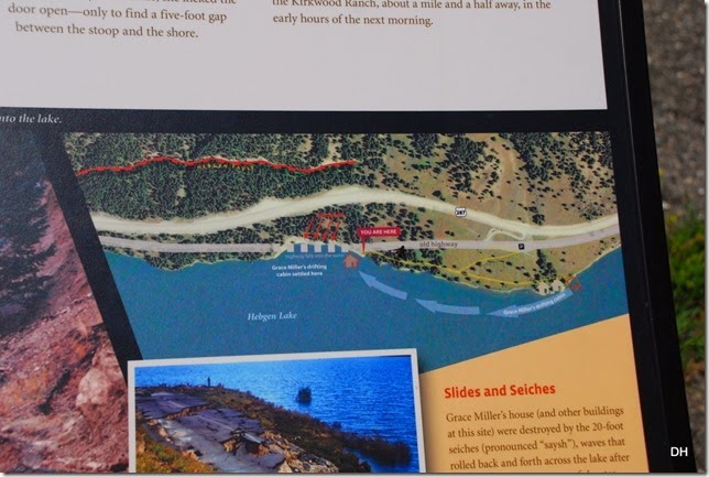
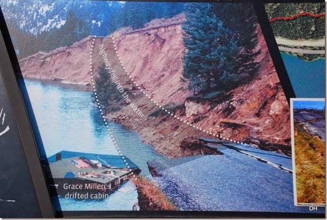
Our next stop was “The Lake that Tilted” where Hebgen Lake dropped 19’ during the quake and caused seiches. Seiches are successive waves of water that destroyed the lodge cabins.
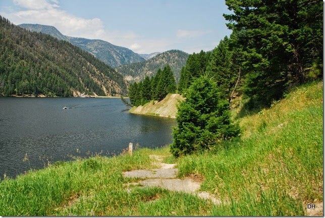
Here is part of the old road – compare it to the above picture to see how the road continued:
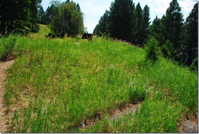
In this picture the grassy area between the square sign (top middle) and the bare strip (bottom middle) is one drop in the road caused by the earthquake. Oh my!
The landslide area:
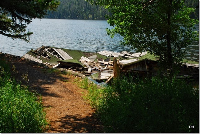
From there we walked to the site of the Hilgard Lodge where the cabins are slowly falling into the water:
All I can say is “OH MY!”
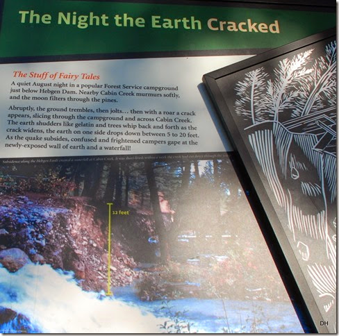
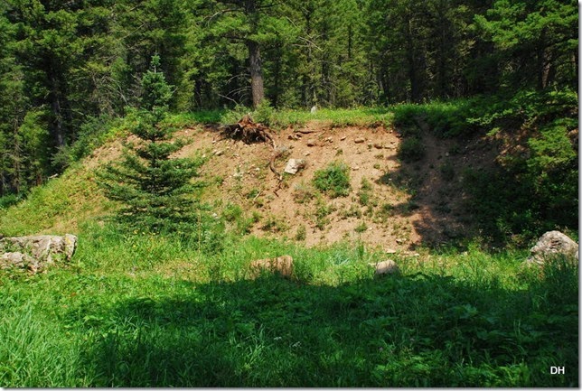
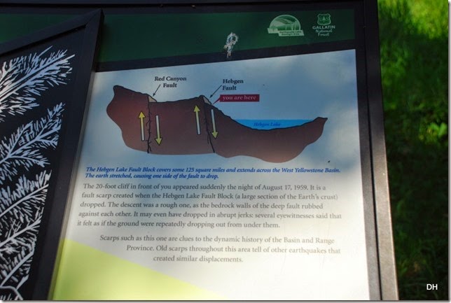
Stop Number 4 was the Cabin Creek Scarp. At this site a fault scarp severed the old campground. The scarp split a campsite, leaving the picnic table several feet higher than the fire ring.
Here is where the ground dropped:
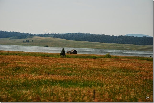
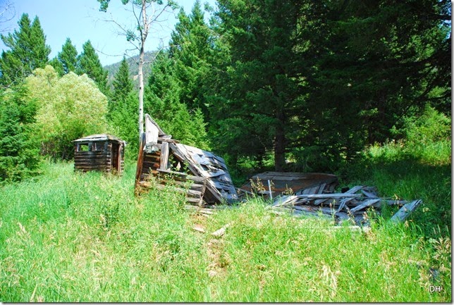
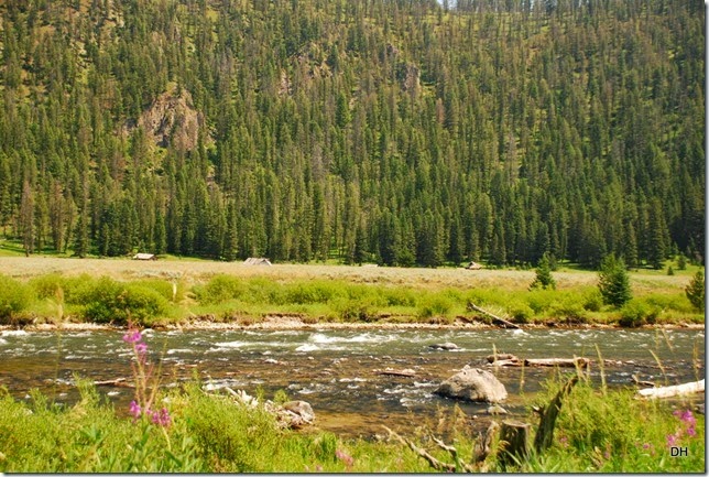
From there we drove across the highway and took the Ghost Town Road. About 1/2 mile down that road, we began to see these cabins across the river and meadow. This is the remains of Halford’s Camp. These cabins floated in among the trees as the water of Earthquake Lake rose.
Above the road we were on is a high-knoll. This knoll was a haven throughout the night of August 17, 1959 for many survivors of the earthquake. The next morning Forest Service smokejumpers parachuted to the knoll and set up a first aid station. Helicopters evacuated the injured from this Point the next day.
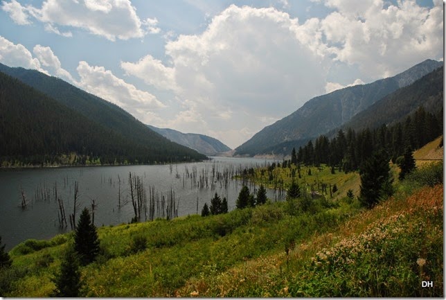
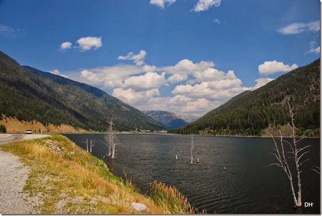
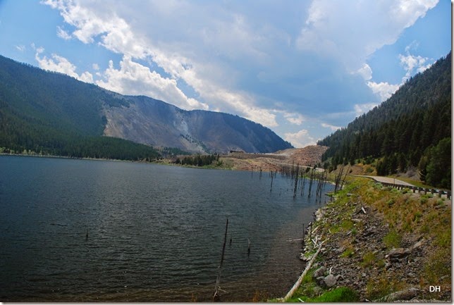
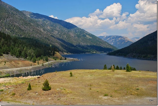
This is Earthquake Lake. The slide dammed the Madison River to form the lake, which filled in three weeks and created a body of water 190 feet deep and 5 miles long.
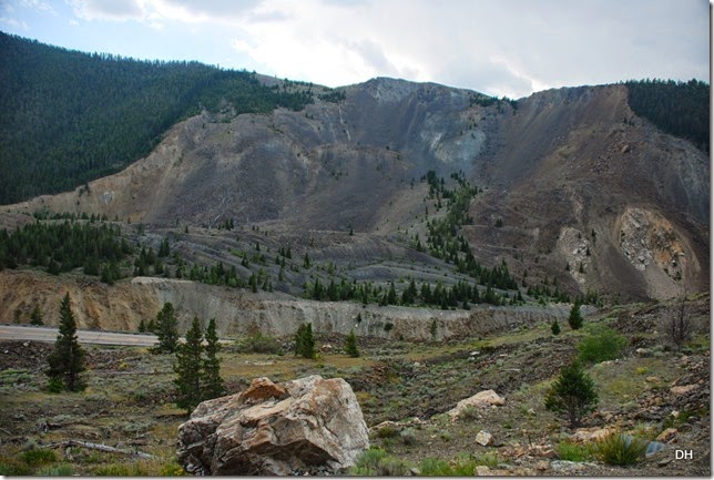
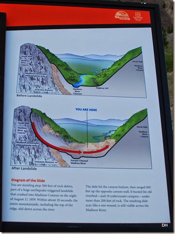
In the distance you can see the bare mountain on the left and the pile of rubble on the right. This is where the slide happened and buried the campground and Madison River.
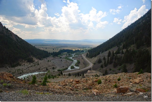
This picture was taken on part of the rubble looking past the slide. The Army Corp of Engineers removed part of the rubble to get the river flowing again to prevent further flooding upstream and worse flooding downstream when it broke thru. The water is slowly eroding the rubble and the lake is getting lower.
The slide area:
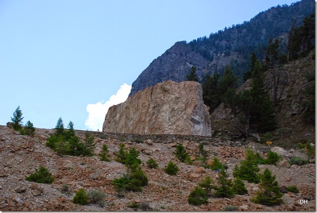
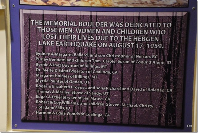
The memorial:
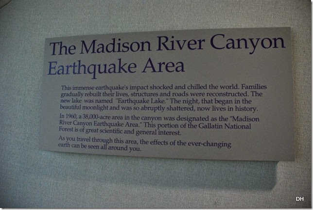
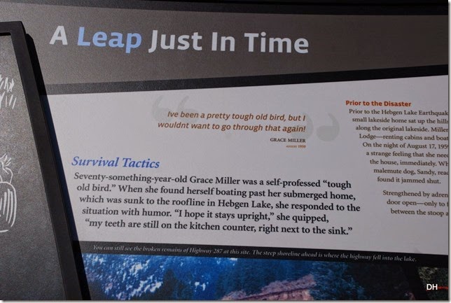
Our last stop was the visitor center where we saw a movie on the earthquake timeline. There were also many displays of the stories of the survivors. Very emotional!
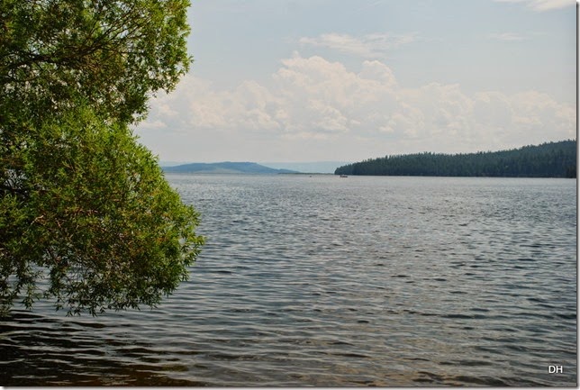
One last picture of Earthquake Lake from the Visitor Center:
We made our way back, checking a few forest roads along the way.
We ended the day with a nice campfire – ![]()
Monday, August 4th, we woke to rain, rain, and more rain. I went to the laundry and ran into Nora also doing her laundry. We hope to see her again on Wednesday.
After laundry, was a stop to the grocery store, then back home to enjoy the rainy day.
Tuesday, August 5th, we woke to the continued rain and just hung out. We paid for 5 more days and spent some time figuring out our next stops.
We think we will probably stay here until mid next week, then head to Missoula for a week, then to Glacier National Park, then towards Washington. But then again, we have been know to change our minds.
So stay tuned for our next adventures and enjoy today.






No comments:
Post a Comment