--------------------------------
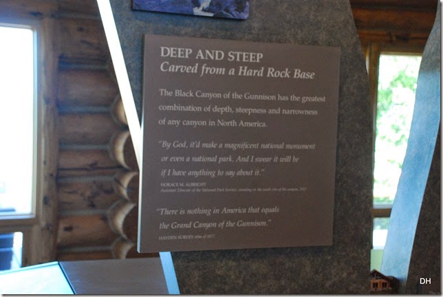
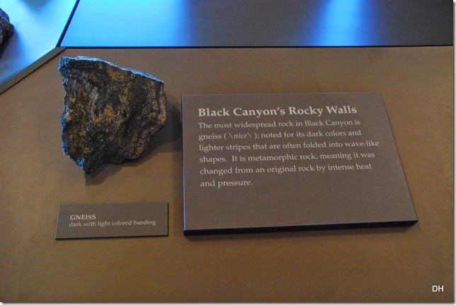
Today’s adventure took us to the Black Canyon of the Gunnison National Park. Our first stop was the visitor center to see the museum and the film (great) plus get some information on the park.
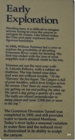
“The canyon has been a mighty barrier to humans from time immemorial. Only its rims, never the gorge, show evidence of human occupation – not even by Ute Indians living in the area since written history began. No early Spanish explorers to the Southwest reported seeing the canyon. The expedition led by Capt. John W Gunnison bypassed the gorge in its search for a river crossing. The first written record came from the Hayden Expedition of 1873-1874. The Hayden and, later, Denver & Rio Grande Railroad survey parties deemed Black Canyon inaccessible.
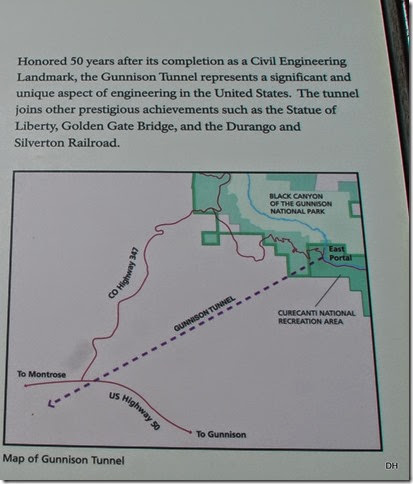
The canyon was named “Black” because it is so deep, so sheer, and so narrow that very little sunlight can penetrate it. Early travelers found it shadow-shrouded and foreboding. By 1900 the nearby Uncompahgre Valley wanted river water for irrigation, so five residents hazarded an exploratory float of the river but gave up after a month. In 1901 Abraham Lincoln Fellows and William Torrence floated it on a rubber mattress – 33 miles in nine days – and said an irrigation tunnel was feasible. The 5.8 mile Gunnison Diversion Tunnel, begun in 1905 and dedicated in 1909, still delivers water for irrigation.
The park was proclaimed a national monument in 1933. Congress made it a national park in 1999, and the park now contains 14 miles of the canyon’s total 48 mile length.”
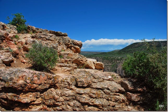
There was a little overlook right behind the visitor center so off we went:
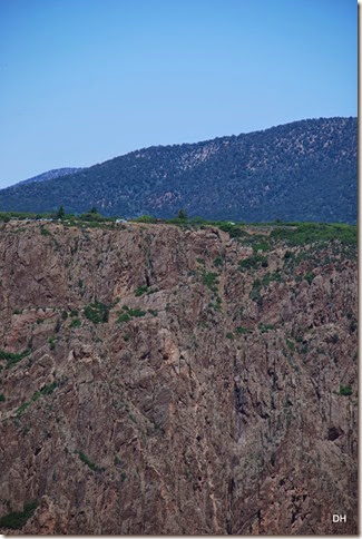
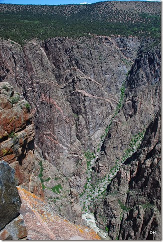
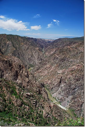
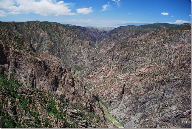
WOW! The gorge is HUGE! Over 2000’ feet to the bottom. Here is a close up of an overlook with cars – can you see them?
Here is the picture without the zoom – you can barely see the vehicles:
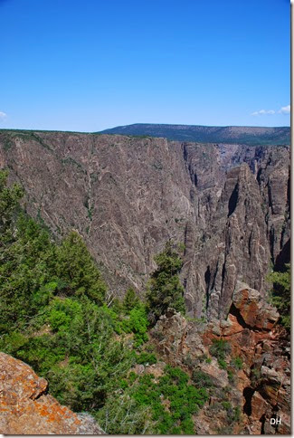
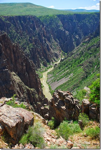
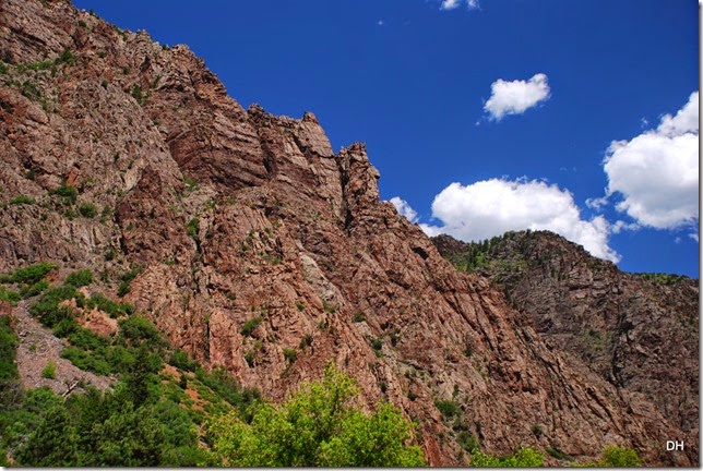
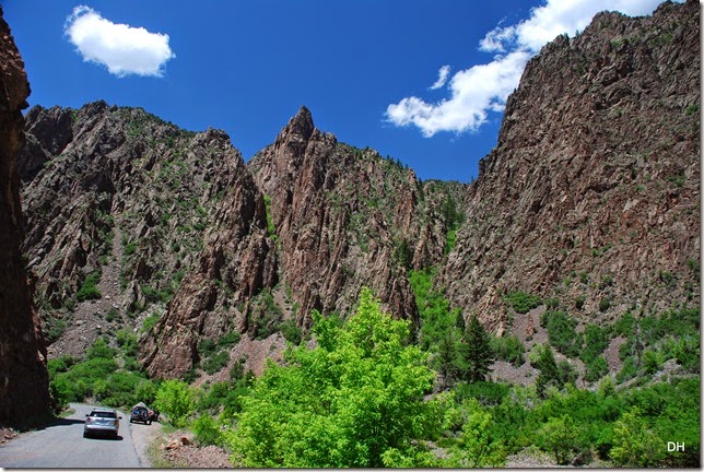
Spires of hard rock – some well over 1000’ high:
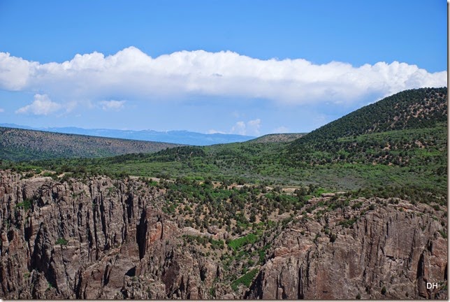
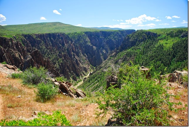
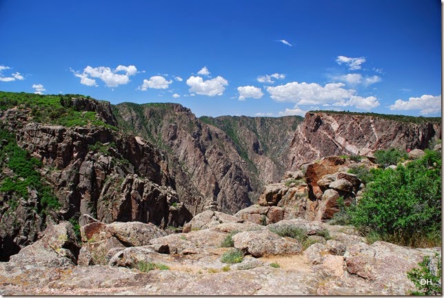
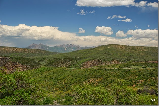
And, yet, almost flat above the canyon:
We went back to the car and continued down the South Rim Road.
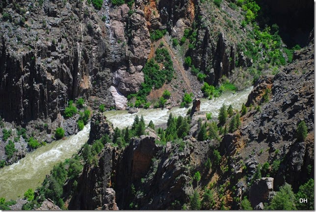
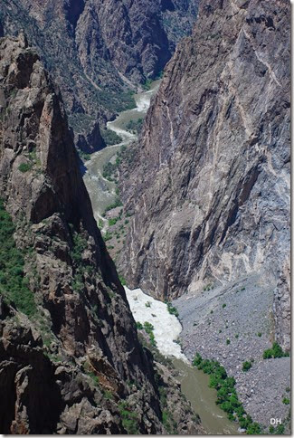
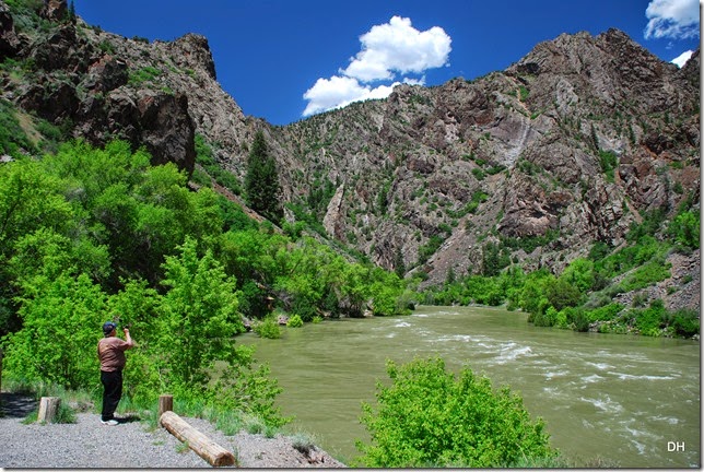
The rushing Gunnison River:
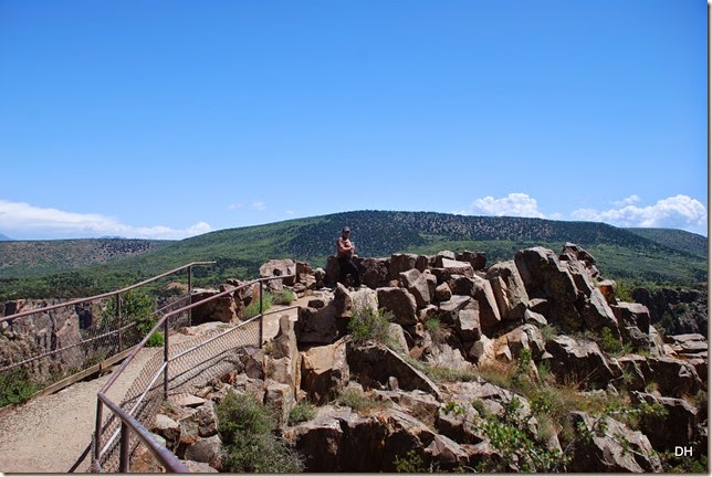
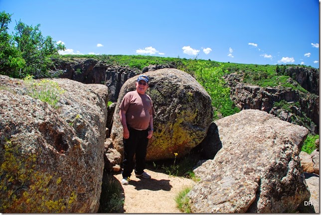
We did most of the overlooks and it gave a different perspective of the canyon. Here is Andy at Pulpit Rock:
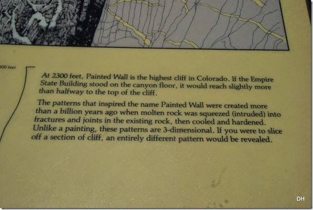
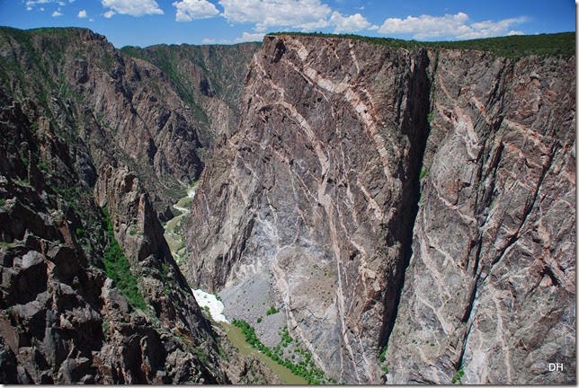
The Painted Wall:
A short video of this area: http://youtu.be/jNn77rxJIXc
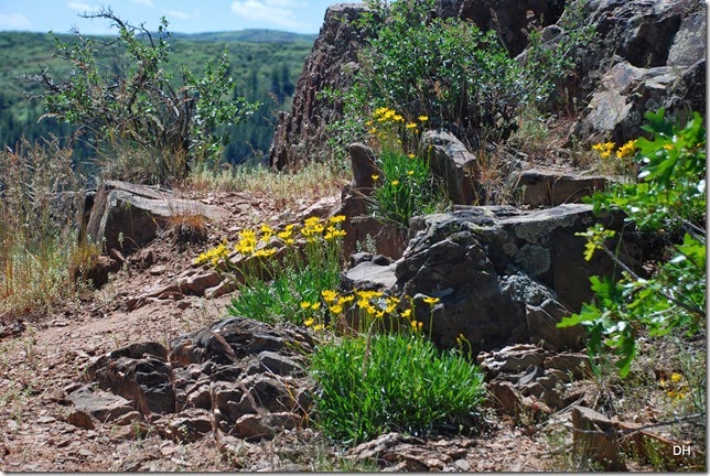
I love this picture:
We had lunch at a picnic table in the shade at the end of the south rim drive then headed back towards the Visitor Center.
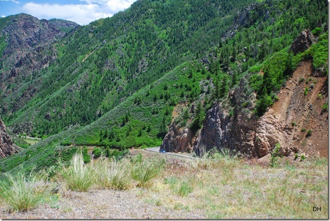
The East Portal Road will take you down in the Canyon to the River and the Crystal Dam so we asked about it at the center. The road is 7 miles long (paved) but 5 of those miles are a 16% grade with switchbacks descending over 2000’ along the canyon wall.
So what the heck, let’s go. The road at the top:
Going down:
More videos of the way down:
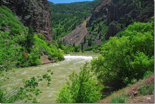
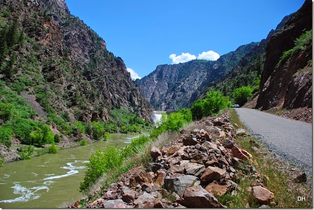
To the bottom where the river was really flowing:
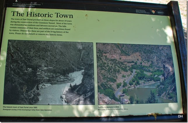
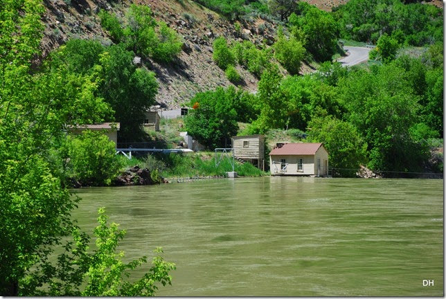
Information on the town site – the only thing we found were some stone foundations:
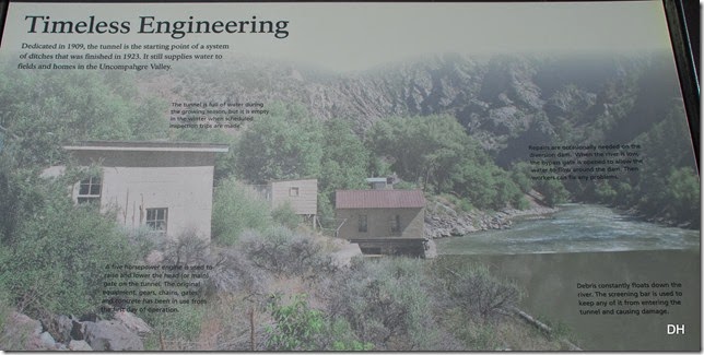
The Diversion Tunnel Area:
“Irrigation water usually flows through the tunnel from April through October. Gravity causes the water to flow from West Portal through the South Canal to the Uncompahgre River. Like a central artery that branches out to capillaries, the river supplies six primary canals, such as the Montrose & Delta or Selig Canals. From these primary canals water flows into secondary ditches and eventually into farm fields.”
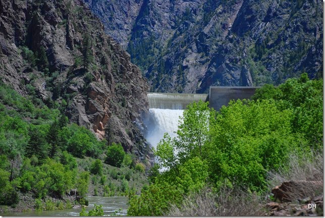
We continued down the road to Crystal Dam and WOW – lots of water flowing over the top.
“Crystal Dam is a unique structure – it curves from side to side and from top to bottom. It is 227 feet above the Gunnison River Streambed. This thin-arch, double-curvature design gives it exceptional strength. The free-form spillway is capable of releasing 42000 cubic feet of water per second.
Crystal Dam plus upstream Morrow Point and Blue Mesa Dams comprise the Wayne N. Aspinall Unit of the Colorado River Storage Project. Crystal serves as a regulating facility in this unit. Its six mile long reservoir catches fluctuating releases from Morrow Point Dam and smooth’s out the flows in the Gunnison River. The power plant at Crystal has one generating unit with a 31000 kilowatt capacity.”
We could not get any closer to the dam because they were closed for the day – Bummer! It was awesome to see and the noise of the water – WOW!
We headed back down the road and made the climb to the top:
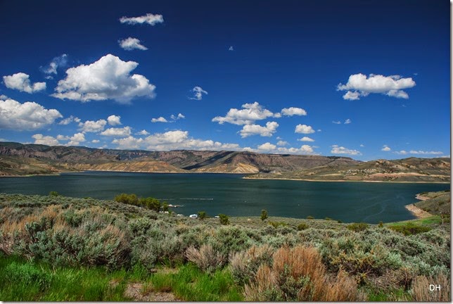
And then back home to Blue Mesa.
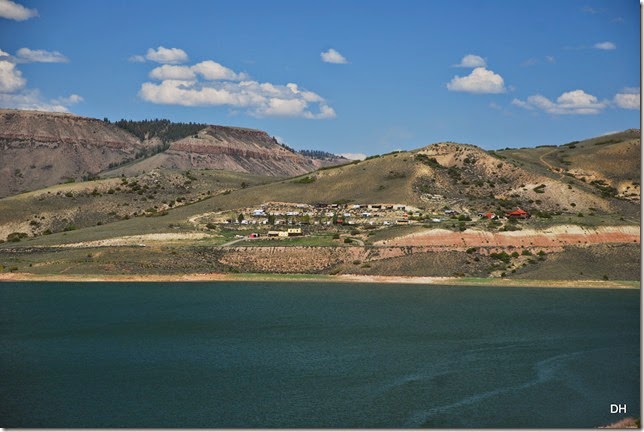
Sapinero Tavern area:
Another wonderful day.









No comments:
Post a Comment