This morning we went down to the docks early. We were told that the best seat on the boat was the upper right side and because we were early, we were able to get a seat there. (As well as everyone ahead of us in line - LOL.)
What a treat - our captain and the ranger gave various talks along the way.
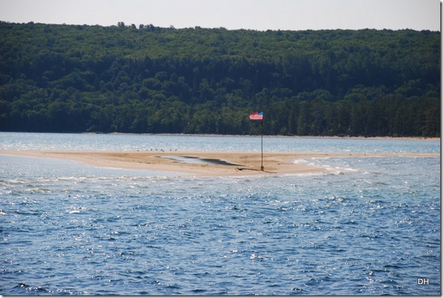
The sandbar and flag up close:
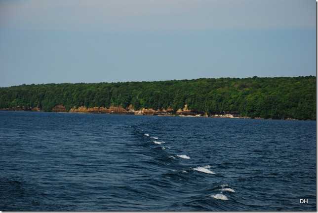
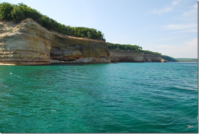
The start of the Pictured Rocks:
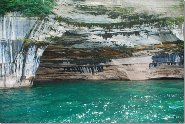
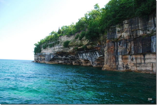
“The name pictured rocks comes from the streaks of mineral stains that decorate the face of the sculpted cliffs. Those streaks occur when groundwater oozes out of the cracks. The dripping water contains iron, manganese, limonite, copper, and other minerals that leave behind a colorful stain as the water trickles down the cliff face.”
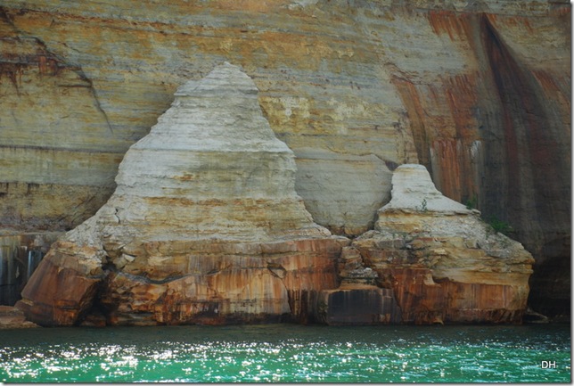
Our captain encouraged all of us to use our imagination to find our own pictures in the cliffs.
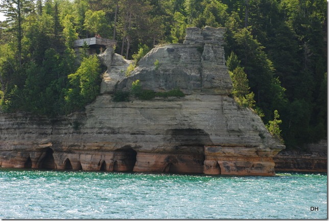
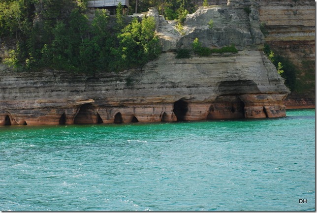
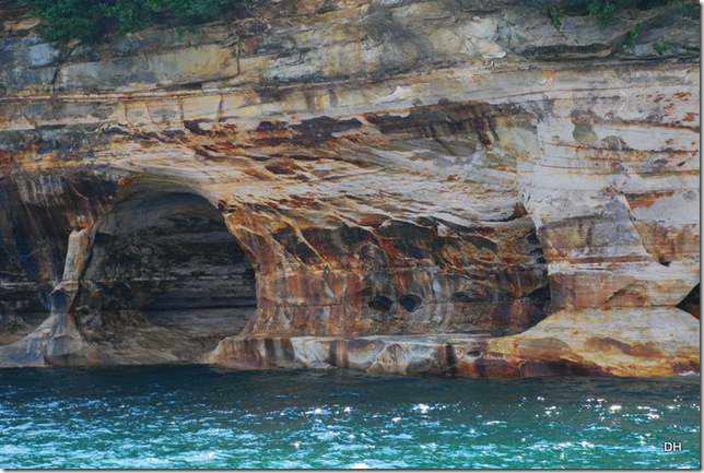
This is a view of Miners Castle from the water. The caves below are created and sculpted by wave action during storms. We were told that sometimes there may be 30’ waves - WOW!
Because of the soft sandstone, the cliffs continue to erode. There were quite a few areas where we saw where the rocks had fallen or the trees on top were sliding off the cliffs.
How about those streaks:
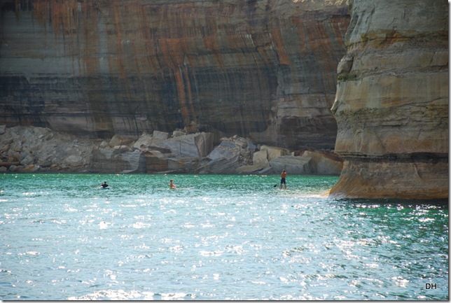
In this area, the cliffs are 200’ high! These guys are on boards - they look so small compared to the cliffs:
The beautiful colored water:
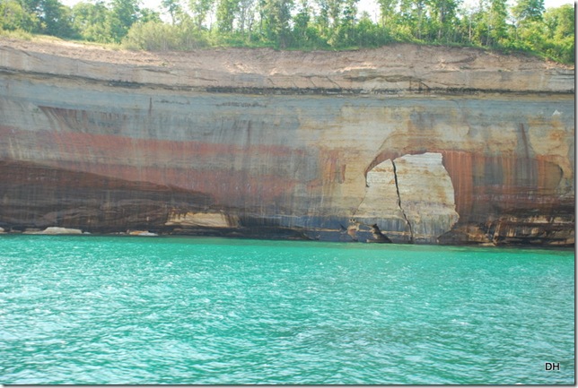
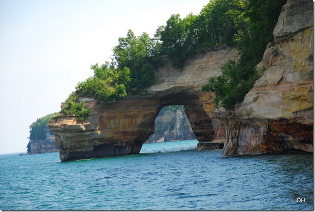
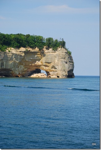
Arches:
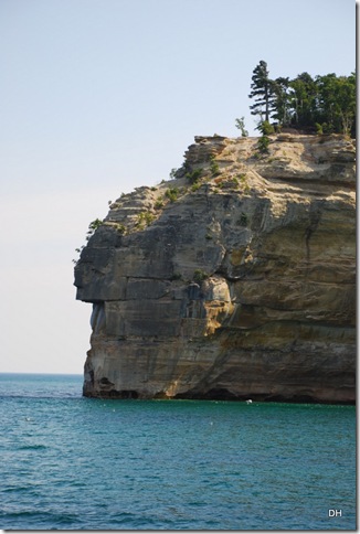
Indian Head:
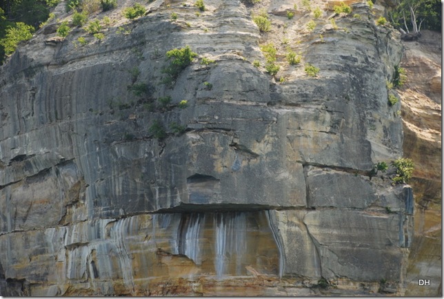
Check out his face from the front:
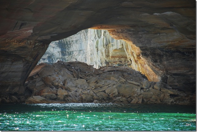
Another arch that has collapsed:
The birds are enjoying the rock fall:
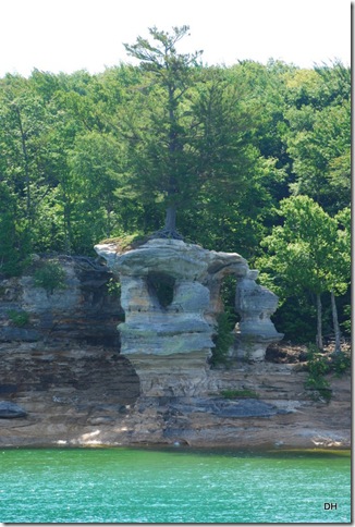
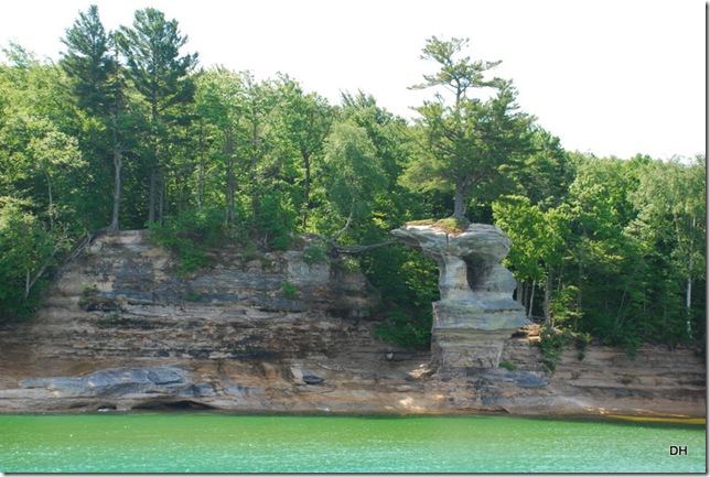
This tree is growing on top of the cliff:
But its roots are on the other side:
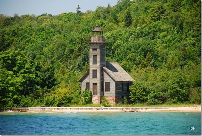
This is the Grand Island East Channel Light. It was constructed in 1869 for the purpose of guiding vessels into Munising Harbor from the east. It’s original color was white. By 1905 the Lighthouse Board noted that the light was no longer serving its original purpose and it was finally abandoned in 1913 as a result of the construction in 1908 of the Munising Range Light. There is a group of volunteers now that are trying to stabilized and preserved the lighthouse.
Our captain told us an interesting tidbit. One of the original keepers of this lighthouse raised 12 children here.
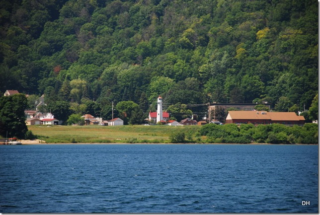
This is the front range light in Munising. It is 58 feet tall, a fixed red light, and an active Lighthouse.
Range lights are designed to work in pairs (I did not get a picture of the rear range light.). The front and rear lights are aligned so that mariners are able to stay on the correct heading through the channels.
Michigan is also know for its lighthouses - and finding all of them could be another summer’s project - ![]() . (Too much to see and not enough time.)
. (Too much to see and not enough time.)
What a delightful trip.
We came back home for lunch and I spent the rest of the afternoon downloading all my photographs. This evening we spent at the American Legion for their fish fry - YUM!
Enjoy today.







No comments:
Post a Comment