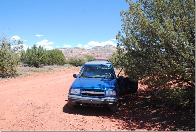
4/26/2012

April 24 – 25, 2012 Visiting with Friends and Hanging Out

 When we moved up to Cornville, we realized that our friends Geri and John lived close so we arranged to meet at their place today.  They live near Dewey in a beautiful house with great views.  (Can you believe I did not get pictures – sorry!)  It was great to see them again and get caught up with each other.  They treated us to a wonderful lunch and then went for a ride around the area.

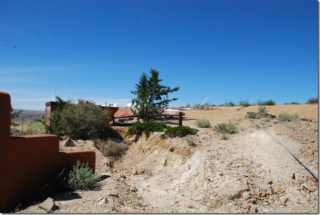
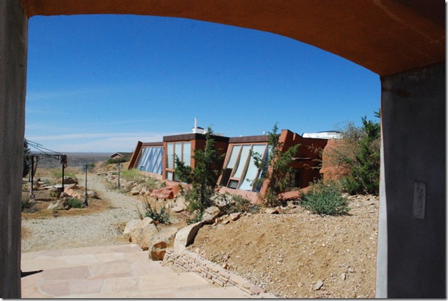
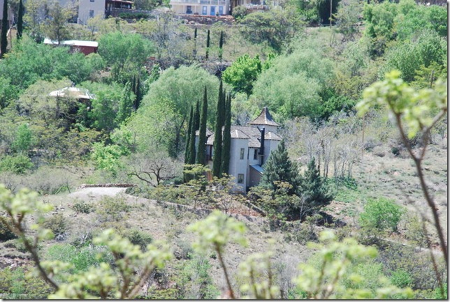
This is the “dirt house” near them.  It is called that because the house is built into the hill and the roof is even with the road:

04-25-12 Area around Prescott and Dewey 004

04-25-12 Area around Prescott and Dewey 002

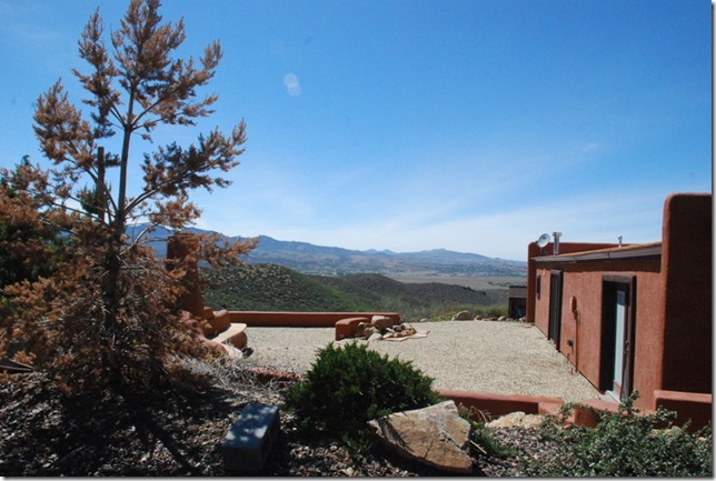
Check out the view from this house:

04-25-12 Area around Prescott and Dewey 005

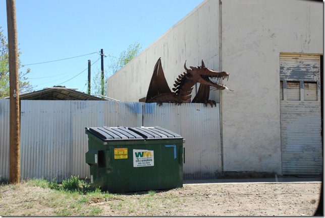
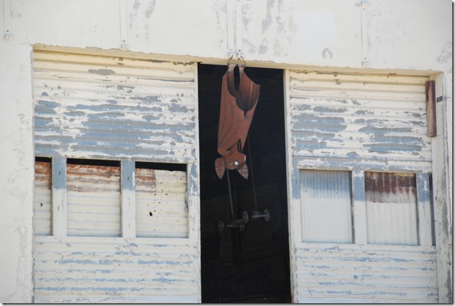
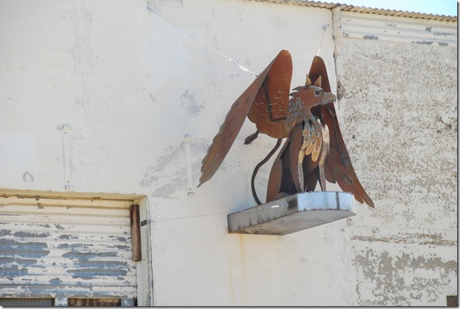
Interesting metal sculptures in Dewey:

04-25-12 Area around Prescott and Dewey 010

04-25-12 Area around Prescott and Dewey 011

04-25-12 Area around Prescott and Dewey 012

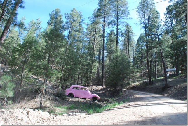
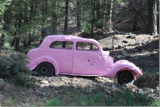
The pink car on Walker Road:

04-25-12 Area around Prescott and Dewey 017

04-25-12 Area around Prescott and Dewey 018

The story goes that in the 1930’s, a doctor from Phoenix was headed to Prescott on the forest roads and had an accident.  He then walked to Prescott never to be heard from again.  The car stayed where it was and eventually became a landmark for the Forest Service and the residents.  The residents finally painted it pink and it is still there.

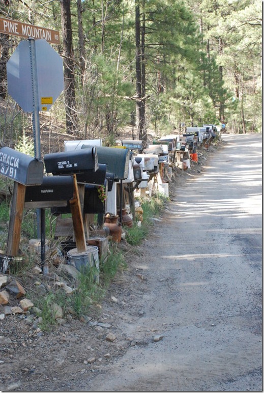
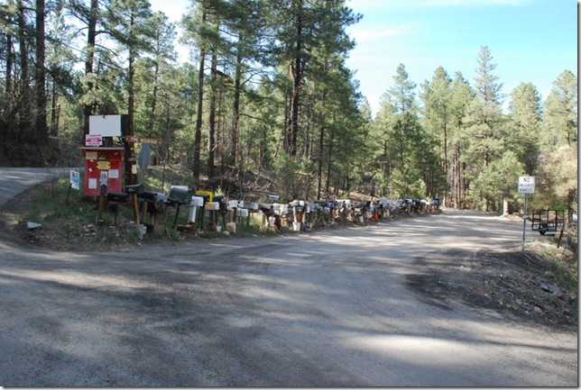
Check out these mailboxes:

04-25-12 Area around Prescott and Dewey 020

04-25-12 Area around Prescott and Dewey 023 

This is up on a dirt road and it is as far as the mail man goes – LOL!  So the people who live beyond this point need to set up their own mailbox.  How funny.

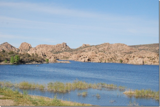
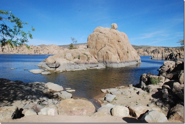
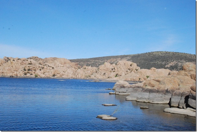
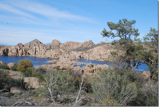
They showed us some great Forest Service campgrounds and lakes.  This one especially was beautiful, especially with all those rocks:

04-25-12 Area around Prescott and Dewey 025

04-25-12 Area around Prescott and Dewey 033

04-25-12 Area around Prescott and Dewey 044 

04-25-12 Area around Prescott and Dewey 052

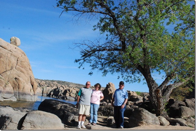
John, Geri, and Andy:

04-25-12 Area around Prescott and Dewey 038

We finished our evening on their back porch and talking about our future travels.  Hopefully we will meet up again before they leave for Alaska.  We are so blessed with the friends in our life.

On Wednesday, 25th, we just hung out and figured out where we are going next.  After seeing all those forest service campgrounds, we decided that will be our next move.  So Saturday we expect to head towards Payson and then towards Flagstaff area.  Ahhh, can’t wait to have a camp fire.

So stay tuned, enjoy today, and hug the ones you love (and even those you don’t – it will take them by surprise – :-).

4/24/2012

April 23, 2012 – The Largest Ghost Town in America

Today we decided to visit Jerome, Arizona and learn about its history at the Jerome State Historical Park.
First some info from the internet:


Jerome, Arizona
"America's Most Vertical City" and "Largest Ghost Town in America".
Located high on top of Cleopatra Hill (5,200 feet) between Prescott and Flagstaff is the historic copper mining town of Jerome, Arizona. Once known as the wickedest town in the west, Jerome was a copper mining camp, growing from a settlement of tents to a roaring mining community. Four disastrous fires destroyed large sections of the town during its early history, resulting in the incorporation of the City of Jerome in 1899.
Founded in 1876, Jerome was once the fourth largest city in the Arizona Territory. The population peaked at 15,000 in the 1920's. The Depression of the 1930's slowed the mining operation and the claim went to Phelps Dodge, who holds the claim today. World War II brought increased demand for copper, but after the war, demand slowed. Dependant on the copper market, Phelps Dodge Mine closed in 1953. The remaining 50 to 100 hardy souls promoted the town as a historic ghost town. In 1967 Jerome was designated a National Historic District by the federal government. Today Jerome is a thriving tourist and artist community with a population of about 450.
Jerome sits above what was the largest copper mine in Arizona and produced an astonishing 3 million pounds of copper per month. Men and women from all over the world made their way to Arizona to find work and maybe a new way of life. Today the mines are silent, and Jerome has become the largest ghost town in America.
Jerome's personality has changed dramatically in the past 30 years. Once a thriving mining camp between the late-1880s and early 1950s, Jerome is now a bustling tourist magnet and artistic community with a population of about 450. It includes a modicum of artists, craft people, musicians, writers, hermits, bed and breakfast owners, museum caretakers, gift shop proprietors and fallen-down-building landlords.
What is the Town of Jerome like today?  Jerome is an enchanting town, and a photographer's paradise. From its external appearances it hasn't changed much in nearly 100 years. Many of the buildings used by present-day business folks are those built after the fires of 1894 and1899. A number of the buildings have been restored and more are planned for restoration. Due to the 30-degree incline of the mountainside, gravity has pulled a number of buildings down the slope. To the delight of some, one of those buildings was the town's jail.”


More information can be found at these links:


http://jeromearizona.org/
http://jeromechamber.com/pages/history.htm
http://jeromehistoricalsociety.com/projects.html
http://jeromehistoricalsociety.com/


To get to Jerome we took route 89A from Clarkdale up the mountain – about 4 miles of roadside clinging to the mountain – and thinking about all those folks who made this trip 100 years ago with all their belongings only to live in a tent and work the mines.
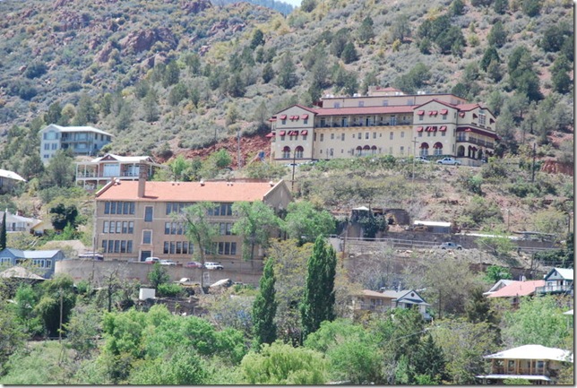
Here is a view of Jerome from the overlook:
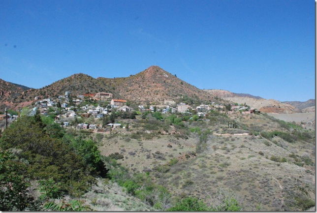
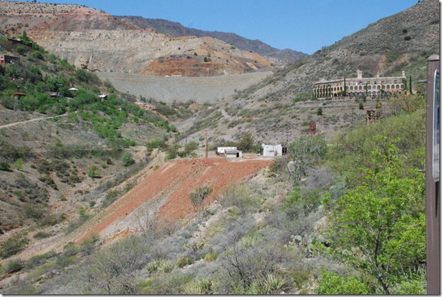
04-23-12 A Jerome State Historic Park 005
04-23-12 A Jerome State Historic Park 036
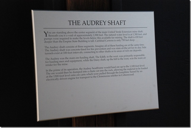
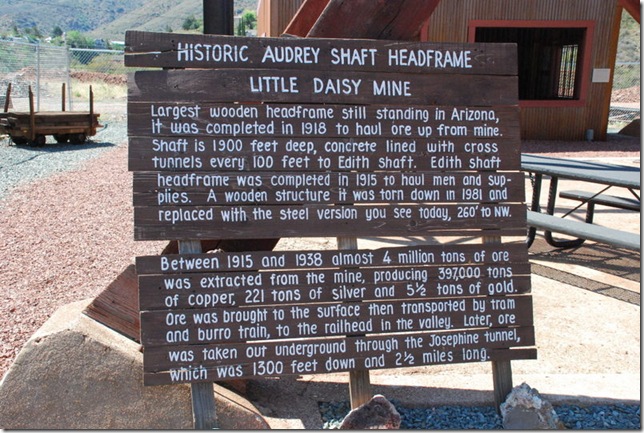
Our first stop was the Audrey Head Frame Park.
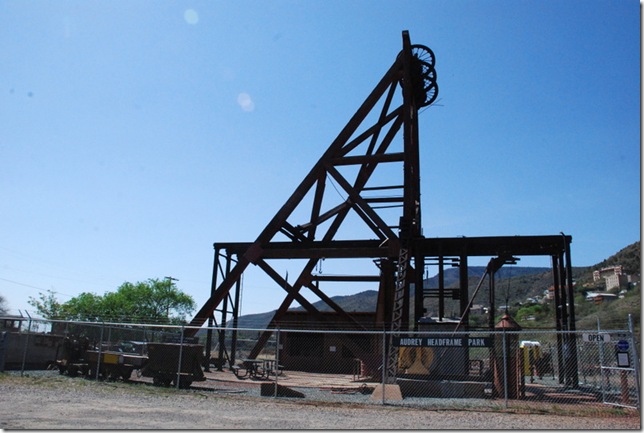
04-23-12 A Jerome State Historic Park 008
04-23-12 A Jerome State Historic Park 012
Now think about that – 1900 feet deep – Yikees.  In contrast the Empire State Building is 1250 feet.
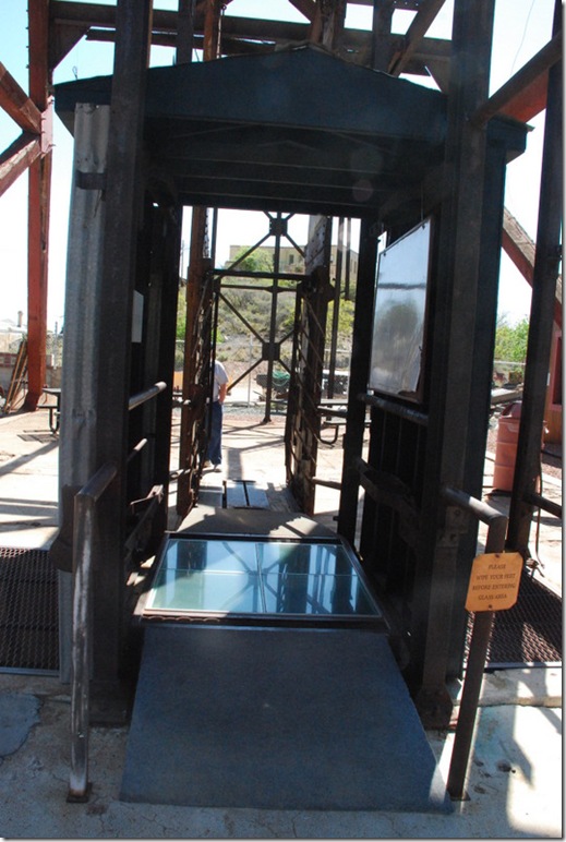
Here is the display where you can stand on the “glass” and look into that shaft that is 1900 feet deep.  I looked down but could not bring myself to step on that glass - Surprised
04-23-12 A Jerome State Historic Park 011 
 
04-23-12 A Jerome State Historic Park 020
   
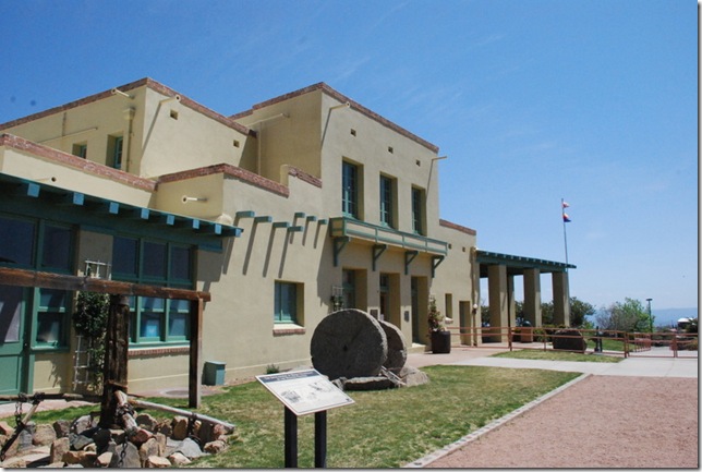
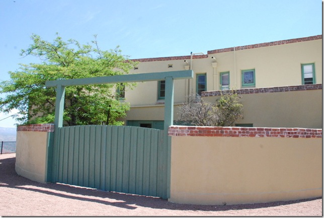
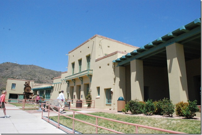
From there we headed up the hill to the Jerome State Historic Park.  It was originally the home of James Douglas who operated the Little Daisy Mine.  Built in 1916, it was used as a residence until the mine closed in 1938.  It became a State Historic Park in 1965.
04-23-12 A Jerome State Historic Park 074
04-23-12 A Jerome State Historic Park 090
04-23-12 A Jerome State Historic Park 108
The inside of the mansion was dedicated to the history of Jerome.  We stated out watching a 30 minute video on the town, its past, present, and future.  (I HIGHLY RECOMMEND seeing this video before doing anything in the town – it oriented us to the different buildings in the area.)
Most of the rooms contained exhibits, pictures, stories about Jerome.  Some were just showcased like the original.  This is the kitchen:
04-23-12 A Jerome State Historic Park 043
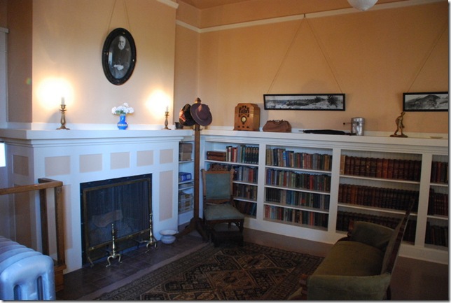
The library/sitting room:
04-23-12 A Jerome State Historic Park 047
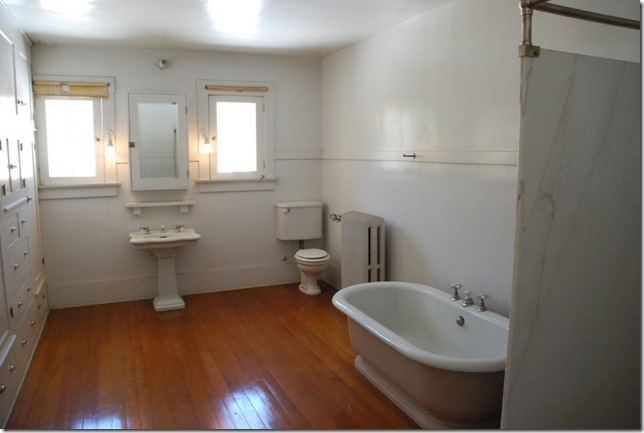
The bathroom – notice all the cabinets on the left:
04-23-12 A Jerome State Historic Park 049

One room contained a model of the mines with all the shafts and tunnels plus all the history and stories about them.   Another room contained samples of gemstones found in Arizona.  A side room contained more gemstones and when you pressed a button, the lights went out, a fluorescent light came on and WOW – it was amazing to see the colors of the stones.  And yet another room described how the mining was done initially, the changes over time, and the tools used.  Outside were many examples of the bigger tools:
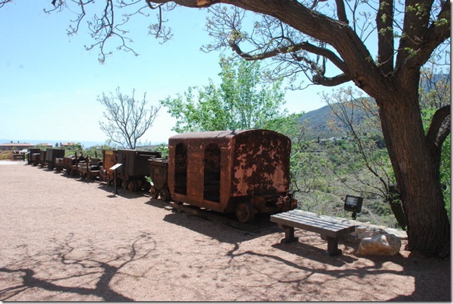
04-23-12 A Jerome State Historic Park 081
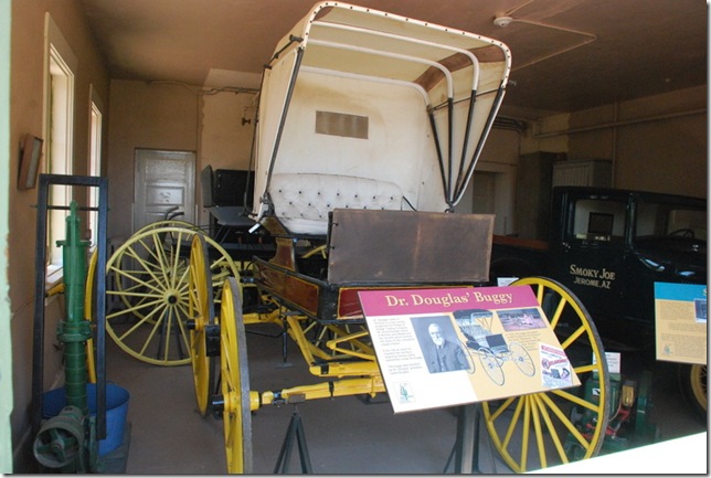
In the garage was Dr. Douglas’ Buggy which was loaned to RKO Studios in 1955 for the filming of the movie “Oklahoma.”  And that movie was filmed near Elgin, Arizona, not in Oklahoma.
04-23-12 A Jerome State Historic Park 076
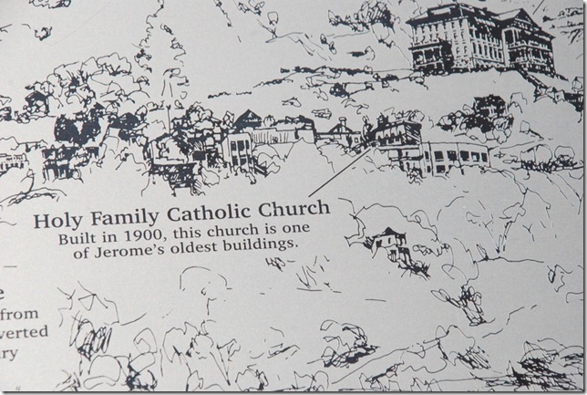
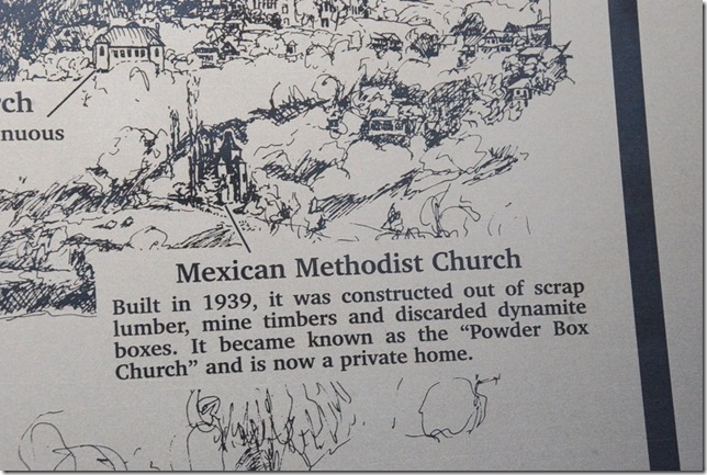
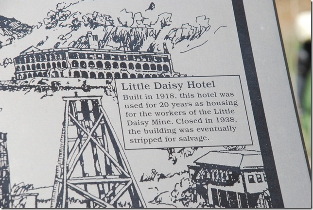
Also outside were posters that oriented us to Jerome and some of the buildings:
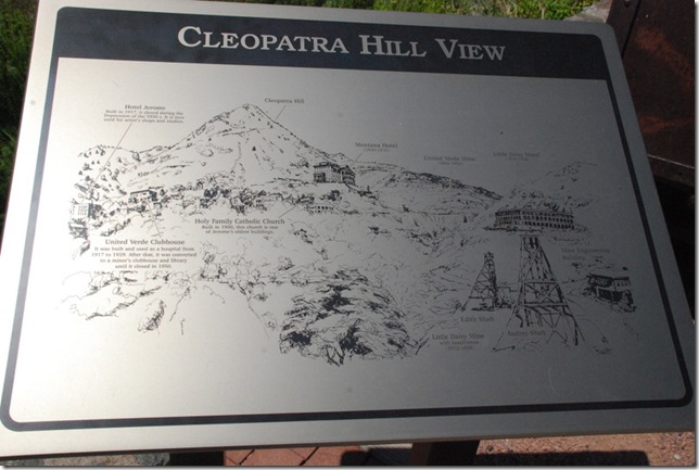
04-23-12 A Jerome State Historic Park 053
04-23-12 A Jerome State Historic Park 056
04-23-12 A Jerome State Historic Park 057
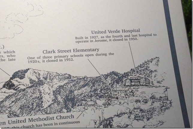
And the church is still in use today.  The Hospital below now contains apartments.  Not sure about the Elementary School.
04-23-12 A Jerome State Historic Park 059
04-23-12 A Jerome State Historic Park 060
04-23-12 A Jerome State Historic Park 061
04-23-12 A Jerome State Historic Park 062 
   
04-23-12 A Jerome State Historic Park 087
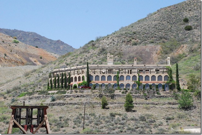
But an individual purchased the property and has saved what was left.  This building was beautiful and I would have loved to see the inside:
04-23-12 A Jerome State Historic Park 088  
This park was just wonderful!

We ate lunch in town at the Mile High Grill.  I had a side dish of crispy spinach – fresh spinach, lightly fried – very good! 
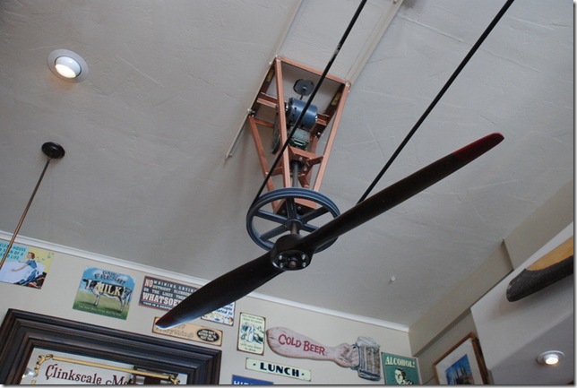
The fans in the Grill were airplane propellers:
   
04-23-12 B Mile High Grill in Jerome 005
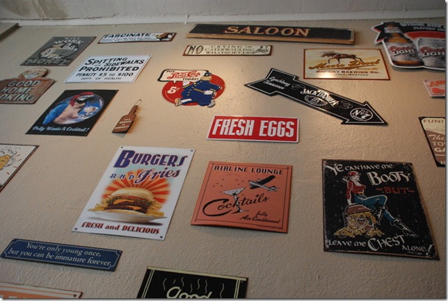
And lots of signs on the wall:

04-23-12 B Mile High Grill in Jerome 003
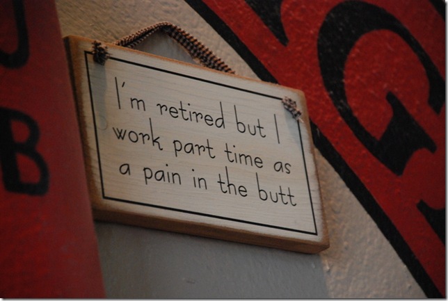
I need to get this one for Andy – LOL:
04-23-12 B Mile High Grill in Jerome 004
We did not walk around the town but will put that on our list for next time – :-))

From there we decided to take 89A over Mingus Mountain to Prescott Valley – what a beautiful ride.  There is a recreation area at the top of the mountain but it was still closed – :-(((.   Sorry no pictures – I was driving. 

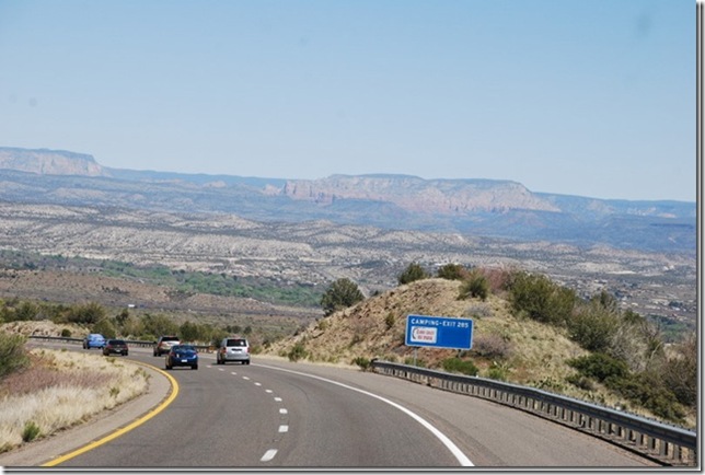
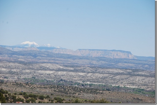
We took part of I-17 back.  There is a part of that road that goes from Prescott Valley over the mountain to Verde Valley.  As you come down the mountain, the Valley views are awesome – it seems like you can see forever. 


Here are two pictures from April 2010:

 040610NorthRanchtoCottonwood084_thum
040610NorthRanchtoCottonwood085_thum


WOW!

Another beautiful day!
4/23/2012

April 22, 2012 The Palatki Ruins

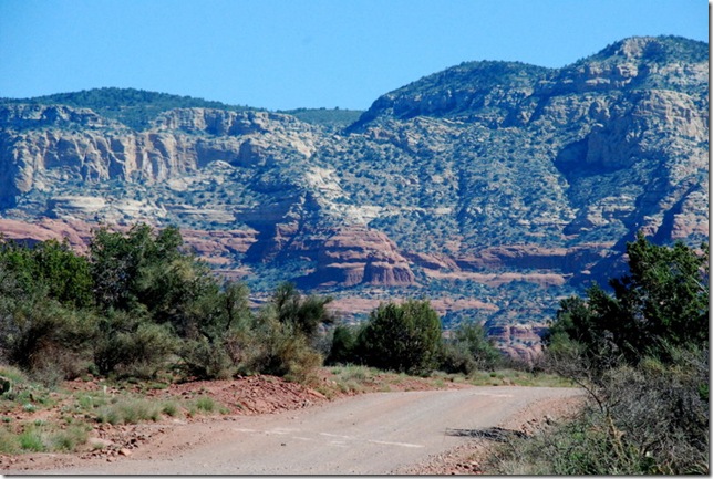
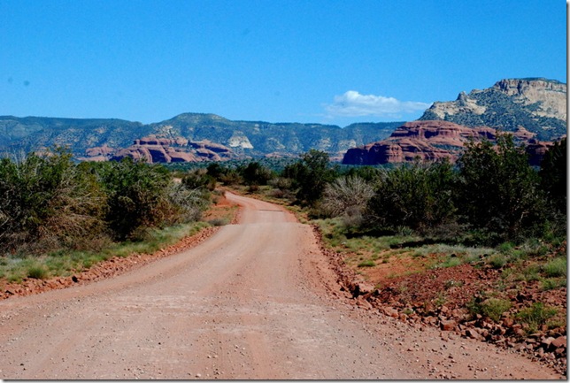
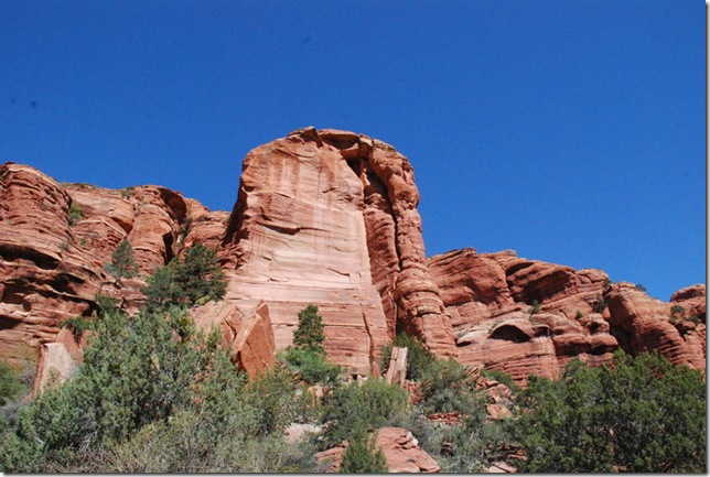
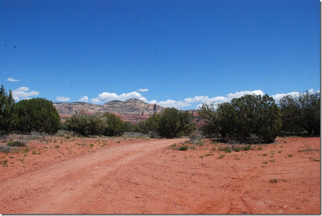
Today we made our way north on SR89A to Forest Road 525 to the Palatki Ruins in the Coconino National Forest.   Forest Road 525 is all dirt and the Palatki Ruins were 7 miles down that road…and the scenery – OH MY!
 

04-22-12 A FR525 to Palatki 008

04-22-12 A FR525 to Palatki 010 

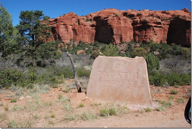
And we arrived:

04-22-12 B Palatki 001

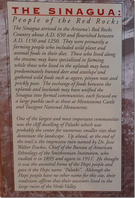
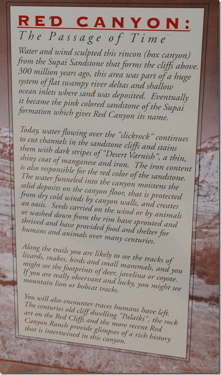
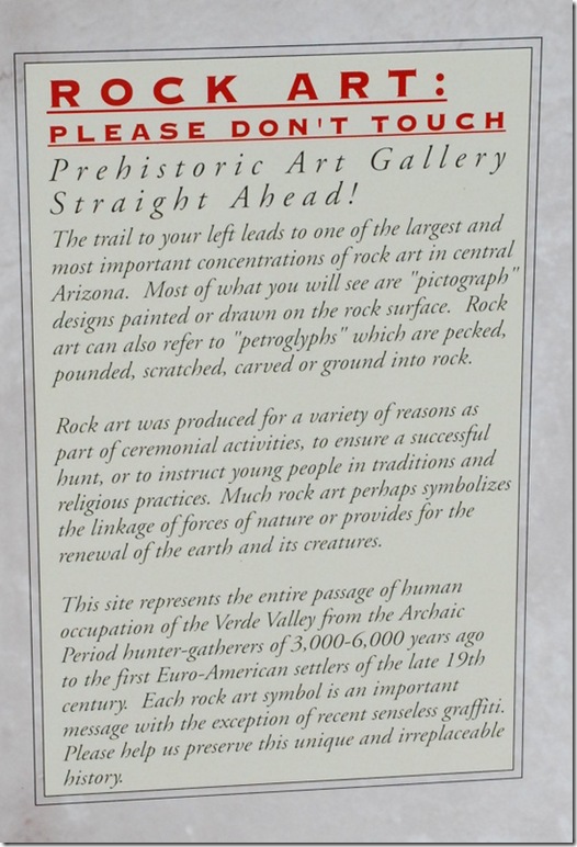
This site consists of two areas – the rock art and the ruins and of course the incredibly beautiful red rocks.  Here is more information:

 04-22-12 B Palatki 003a

04-22-12 B Palatki 005a

04-22-12 B Palatki 007a 

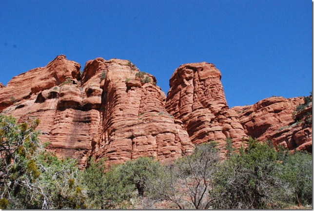
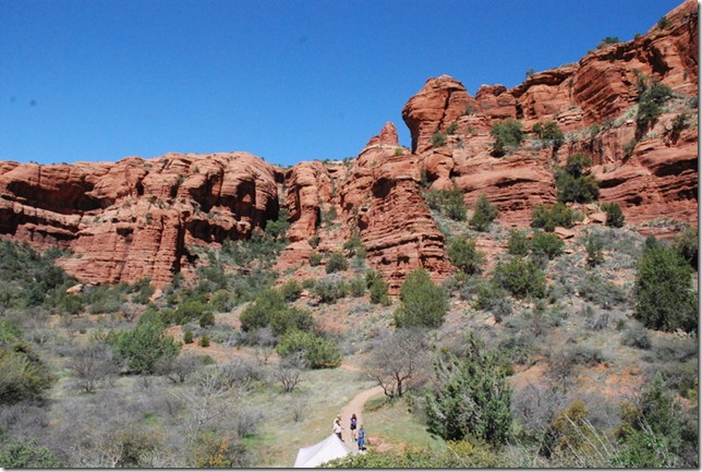
Pictures from the parking lot:

04-22-12 B Palatki 008 

04-22-12 B Palatki 010 

Our first stop was at the visitor center where we found out that we should have made reservations.  As luck would have it, we were early enough to get into the first time slot.    We were first guided to do the Rock Art Trail where a guide met us at the top.

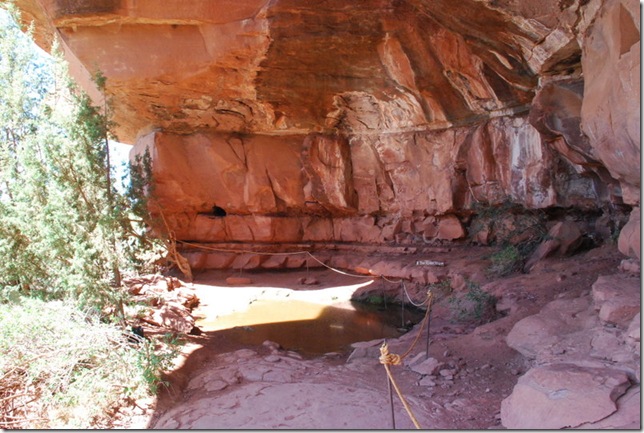
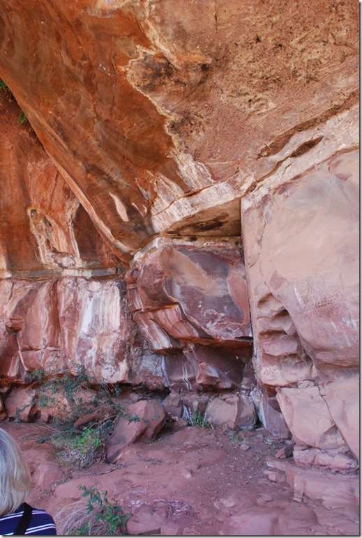
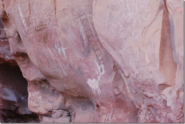
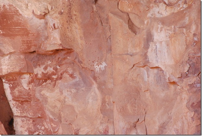
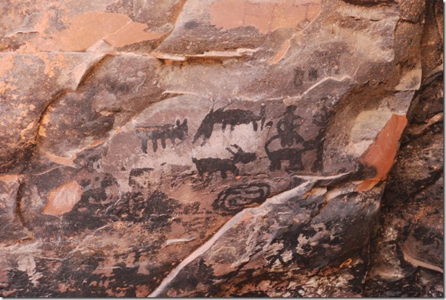
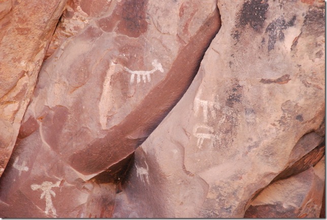
This is known as the grotto where many of the petroglyphs and pictographs are located.  Initially the rock art was thought to have been done by the Sinaqua between 1150 and 1300 AD.  But in doing more research they have found that some of this rock art dates back to prehistoric times.


04-22-12 B Palatki 039

04-22-12 B Palatki 025

04-22-12 B Palatki 015 

04-22-12 B Palatki 020 

  04-22-12 B Palatki 034 

04-22-12 B Palatki 036 

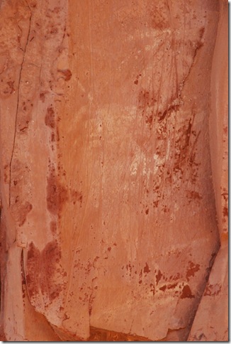
Notice the scratching in the wall below.  They have found this in a number of areas near the cliff dwellers.  It is thought that when a young woman got married, they would go to the sacred areas, scratch the rocks and collect the powder.  The powder was then made into a drink which they believed would make them more fertile.

04-22-12 B Palatki 030

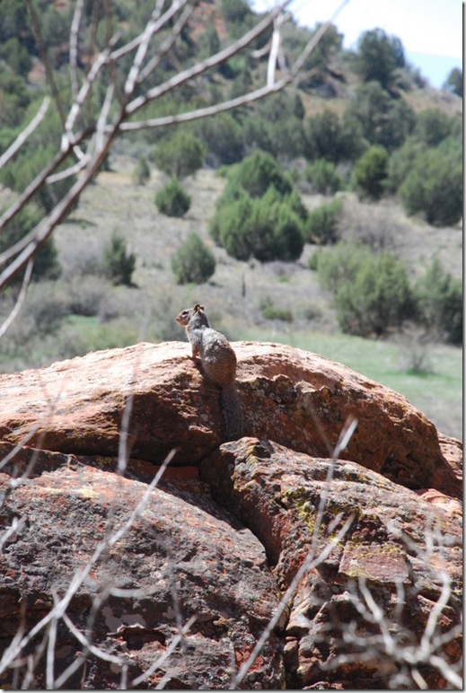
From there we walked back and took the path to the ruins where another guide met us.  On the way we saw this little one:

04-22-12 B Palatki 044

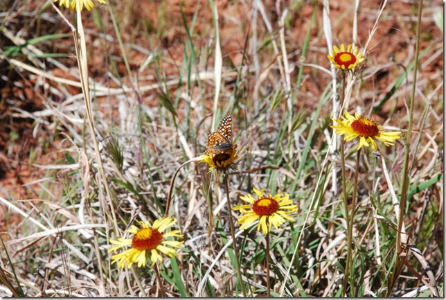
And this beautiful butterfly:

04-22-12 B Palatki 050

The trail to the ruins:

04-22-12 B Palatki 060

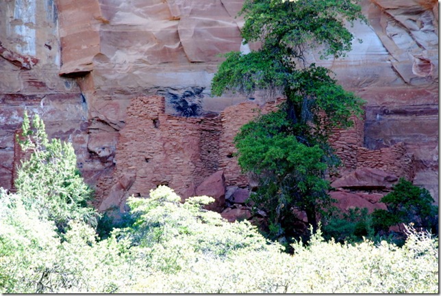
The ruins – number one:

04-22-12 B Palatki 052a 

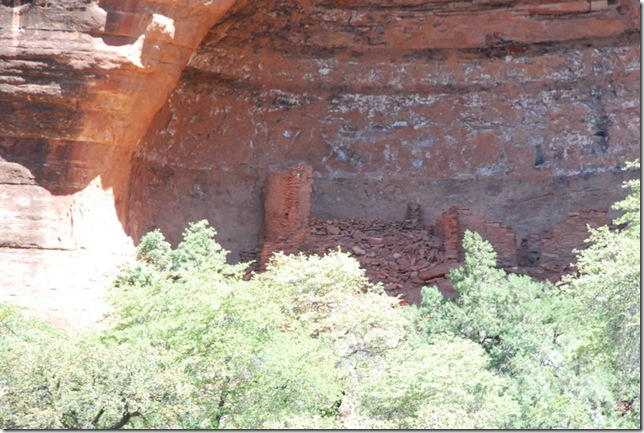
The second set of ruins – this one was hidden from view:

04-22-12 B Palatki 056 

In each of these ruins, they felt that there were nine family groups each.  There were other ruins found in this little area and they think it was a small community of Sinaquas.

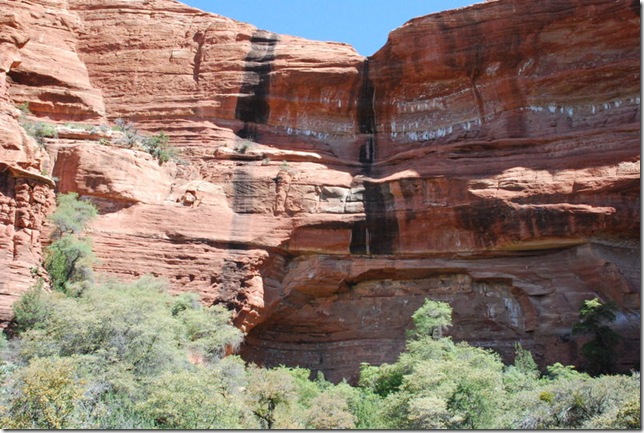
In the photos below, do you see the black lines?  When there is rain or a heavy snow melt in the mountains, these are waterfalls.  The cliff dwellings are below and they have found types of catch basins built – for themselves, their animals or perhaps their crops.

04-22-12 B Palatki 054

More information can be found here:

http://en.wikipedia.org/wiki/Palatki

http://www.dreamsedona.com/palatki-ruins.html

http://www.sedonaverdevalley.org/sedona/palatkioutdoormuseum.html


I love seeing these ruins and hope to visit more in the weeks ahead.  

There is another ruin area near here but by the time we finished it was getting near 90 and I know I could not do any more walking in the heat.   So we made our way back with a short stop for our picnic lunch here:

  04-22-12 C Lunch near Palatki 002

04-22-12 C Lunch near Palatki 001

Back in civilization, we explored Cornville, Cottonwood, and Clarkdale. Two years ago we stayed in Cottonwood and explored many of the National Monuments.  There was so much more to explore which is why we are back – :-))).

Back home, we made a few phone calls and relaxed in the air conditioning.  It is suppose to get cooler later this week – YEA!

“A birth certificate shows you were born.
A death certificate shows you have died.
A photo album shows you have lived. “

Enjoy today.