Kansas is one beautiful state especially when the skies are blue. Between the fall colors of the fields and the farmstead, I could spend years just taking pictures.
As you can see from the pictures, we woke to a beautiful day with very little wind so decided to so some exploring.
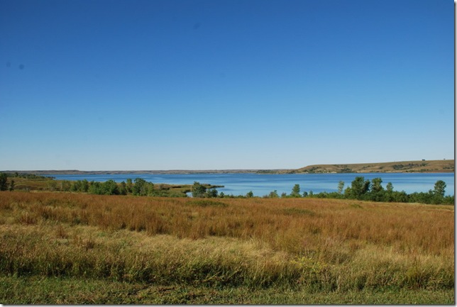
This is Wilson Lake:
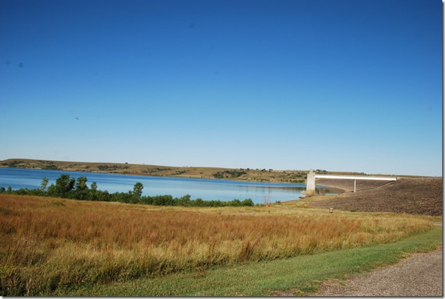
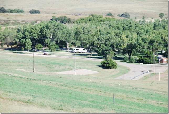
We are parked on the other side of the dam (hope it doesn’t flood):
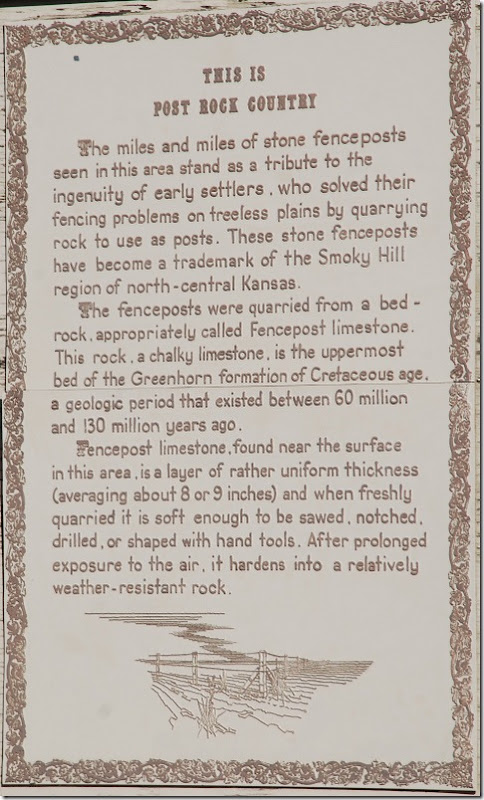
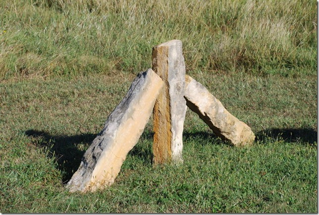
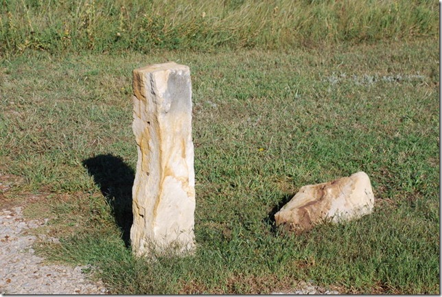
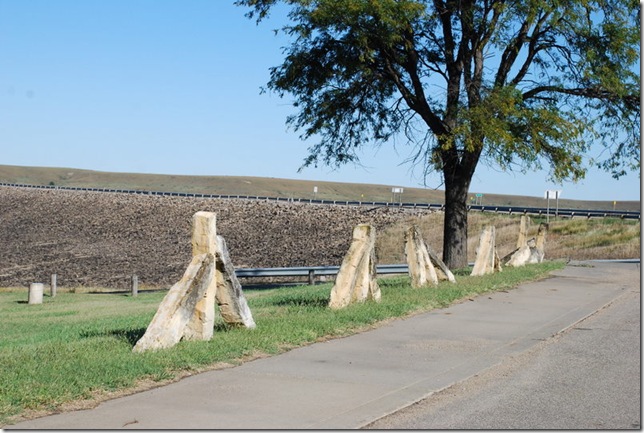
This area of Kansas is known for their stone Fence posts. Here is some info about them:
And the posts:
We saw many of the posts in use in our travels today. They are still marking boundaries – neat!
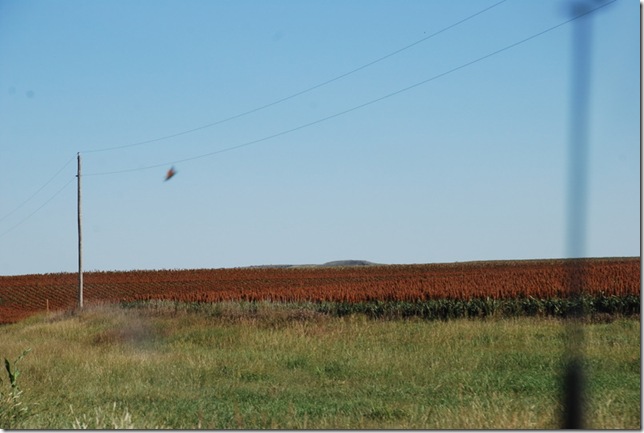
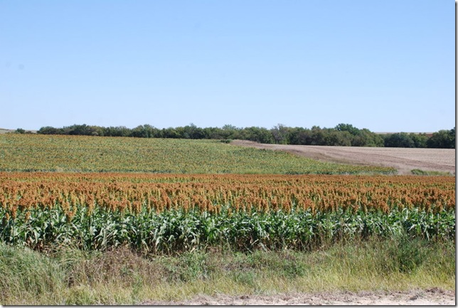
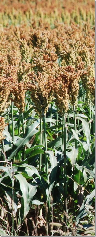
One of our many scenes from the road. The plants in the background are actually a beautiful brown/rust color. We are seeing fields of them and do not know what they are.
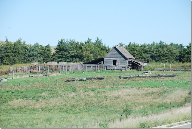
Another neat farmhouse – sorry to say but it was abandoned.
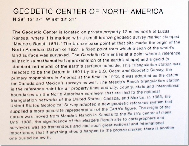
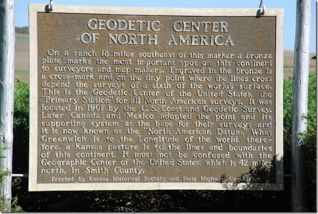
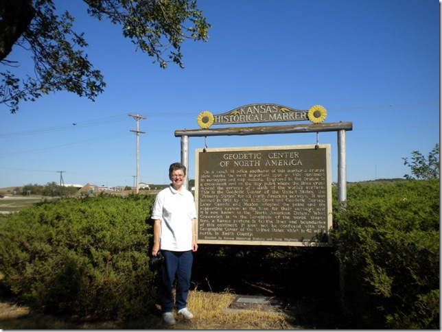
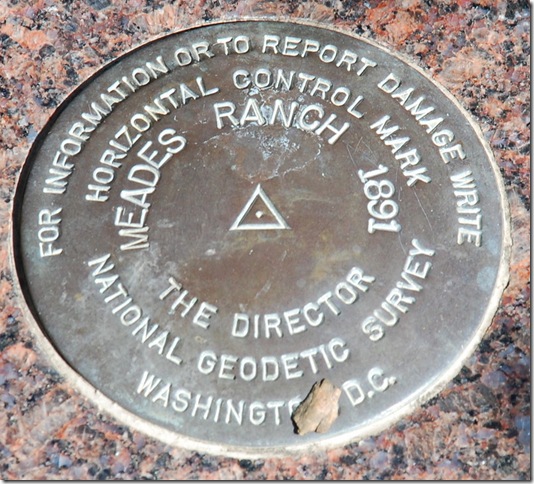
This was our first stop in Osborne. We could not get to the actual spot due to the center being on private property. But in Osborne, Kansas they have a replica marker and a little bit about the Geodetic Center of North America. I had never heard of this but in doing research to find the Geographical Center, I came upon this – who knew!
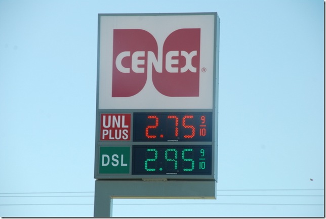
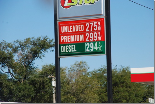
Those of you who know my Andy, know this is his favorite sights… and now he is even taking pictures of them. (Gas station prices – LOL!):
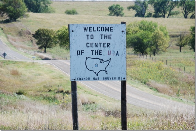
And here we are near the Geographical Center of the Contiguous United States:
The actual site is near here but again it was on private property.
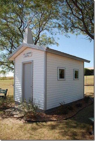
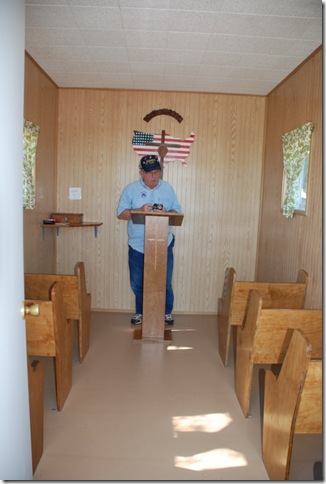
There was a cute little church by the marker:
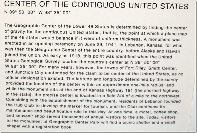
There was also the start of a little museum at the spot that listed the different centers of North America and the US. Did you know that there is a Google Center from where Google starts their maps? There is even a population center for the U.S. More locations to visit for us – LOL!
In 2007, we visited Belle Fourche, South Dakota, to see the geographical center of the United States (all 50 states). At their visitor center, we were able to get the exact location of the marker and off we went to find it. It was in the middle of a cow pasture but exciting to stand by that marker. Here is from the blog: http://thehitzels.blogspot.com/search?q=geographical+center
We were hoping to do the same with this but alas the exact locations were not given out. We did try locating it with the GPS numbers that were listed on the plaques but that brought us to the replicas above… Oh well!
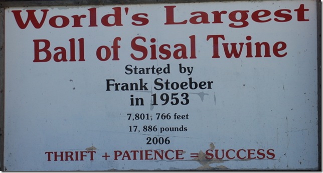
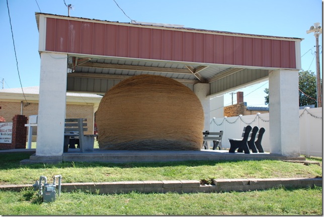
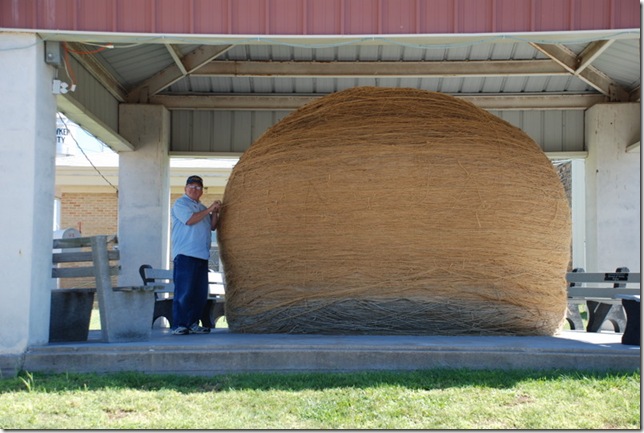
And this was our next stop:
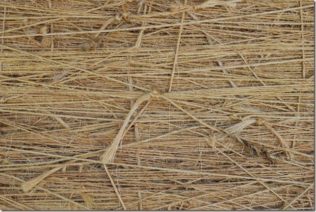
Here it is – WOW!
And here is the story behind it: http://www.roadsideamerica.com/story/8543
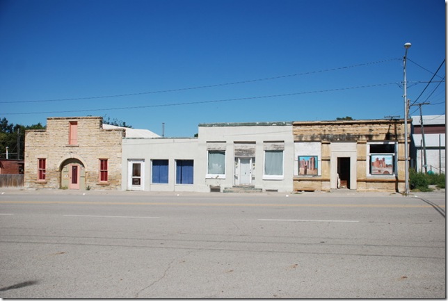
The town, Cawker City – cute little place:
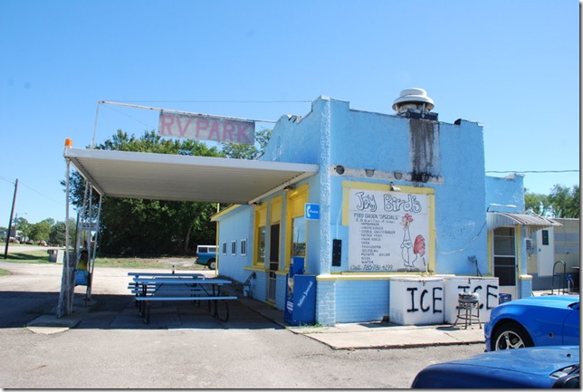
At the edge of town, a great little chicken place where we had lunch. The fried chicken was GREAT!!
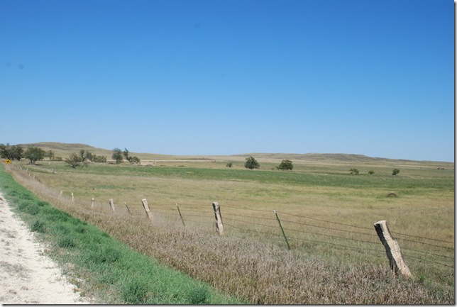
As we made our way back to the motor home, we took some back roads. Notice the stone fence posts – these are the post rocks:
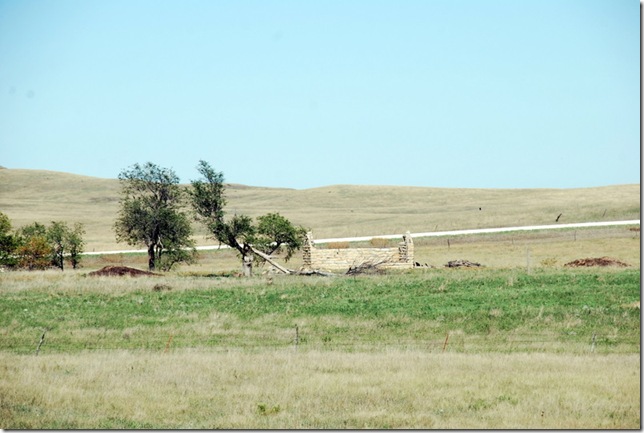
Another farmhouse:
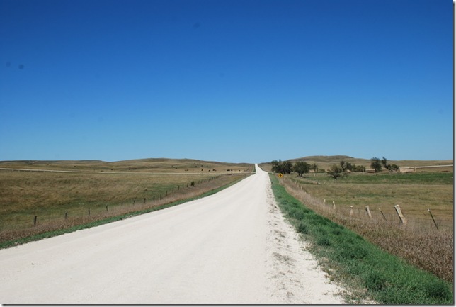
Some of the unpaved roads are in great condition:
And more of those plants. If anyone knows what they are, please let me know:
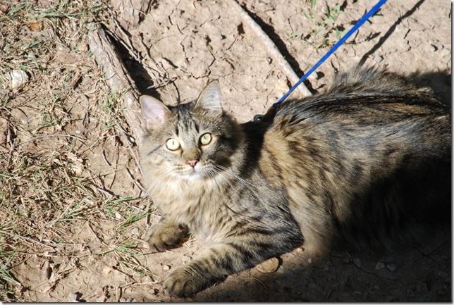
We enjoyed a great campfire night. Dusty also enjoyed the outdoors with us, especially catching (or trying to catch) the grasshoppers.
Tomorrow we will be back on the road to New Mexico.





2 comments:
Hi Diane & Andy...we were in that area a week or so ago and asked about the fields. I did some research and figured it was sorghum. We asked someone who said it was milo. From what I can find out, they are one and the same. Safe travels.
Hi Jan and Ken,
Thanks for the info...we asked at the local Elks and they call it milo but it is sorghum.... Too bad we missed you... Hope all is well.
Post a Comment