Be aware, this blog is picture intensive. I just couldn’t stop myself!
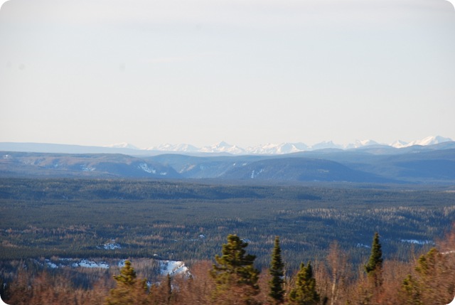
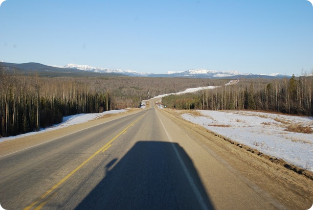
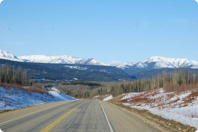
Today more than made up for yesterday in scenery (And, yesterday, I questioned my sanity in coming up this early as well as kicking myself for not checking on openings!)
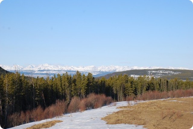
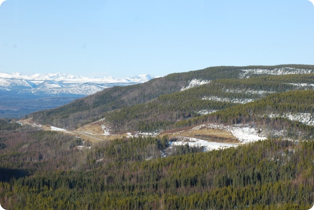
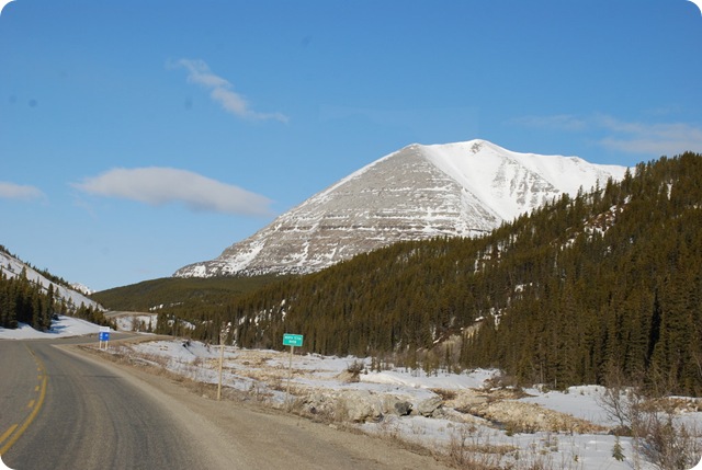
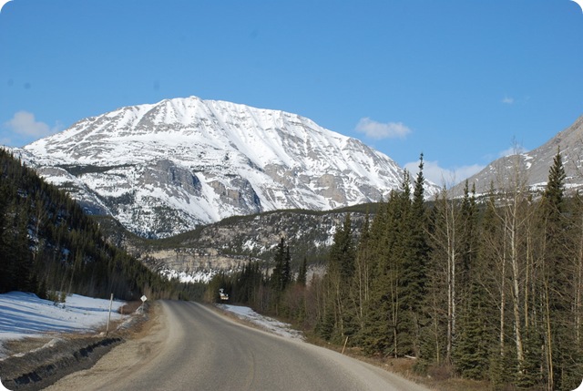
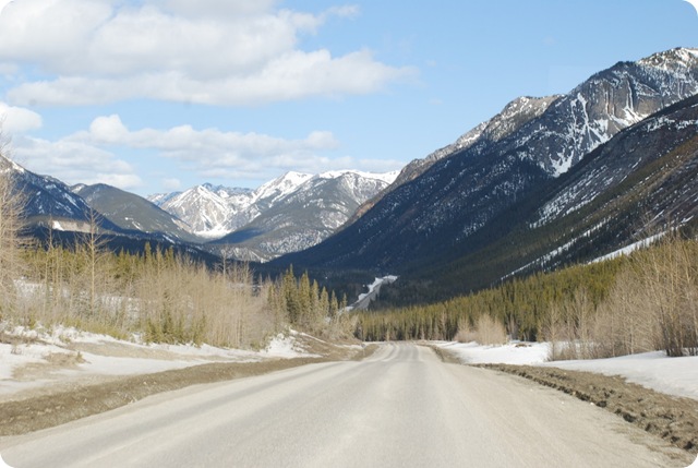
How about this:
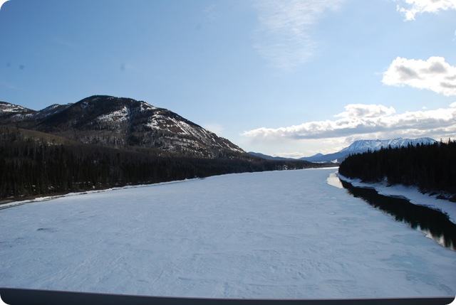
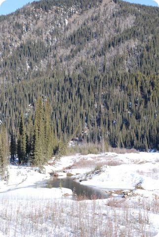
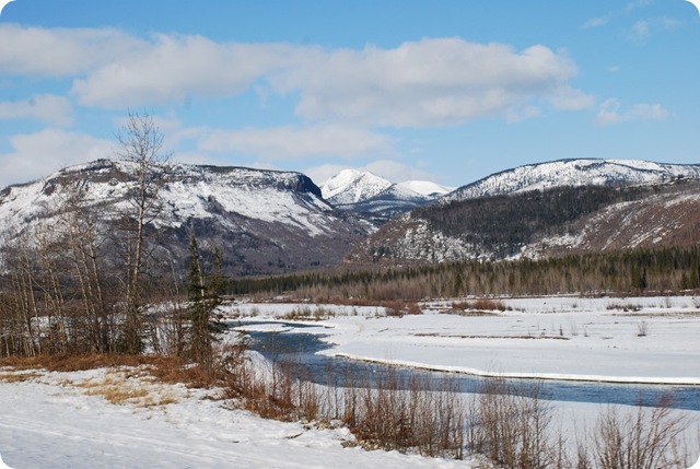
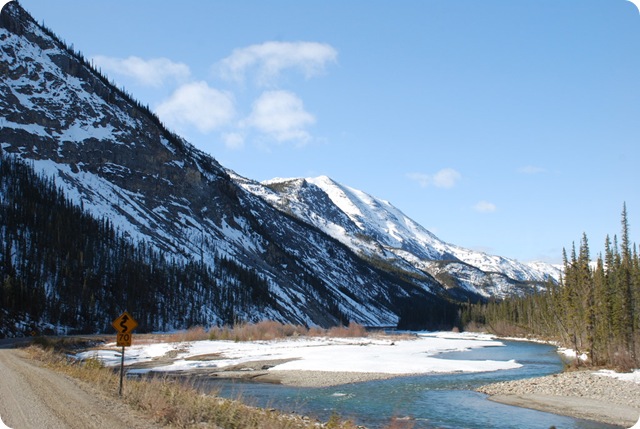
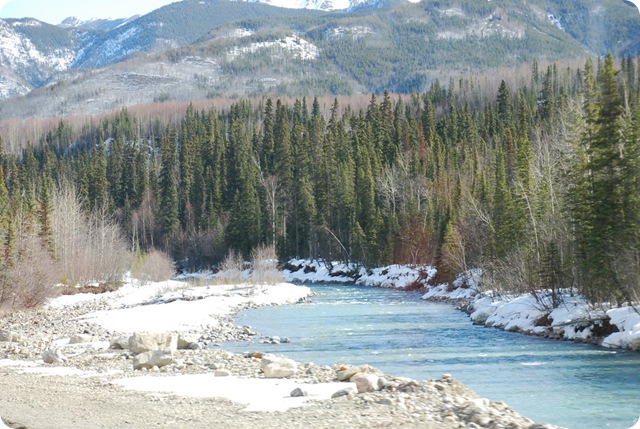
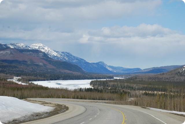
We found that some streams/rivers are flowing and some are still frozen. What was interesting to see is that some of the streams and lakes that are frozen have a lot of animal prints on them. And some are totally devoid of prints – how interesting!
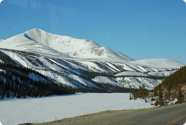
Summit Lake (still frozen):
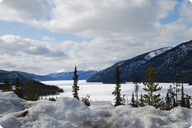
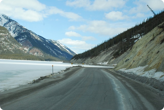
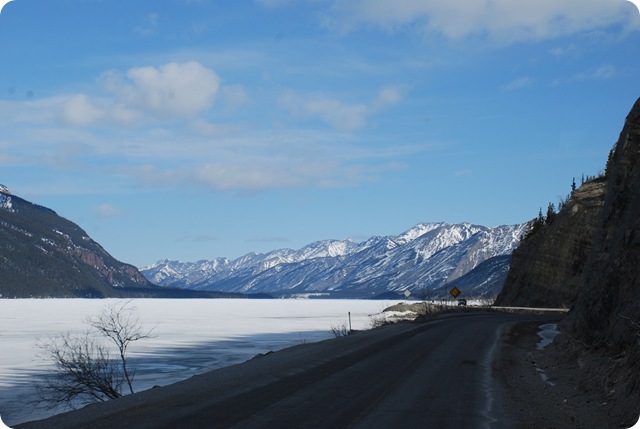
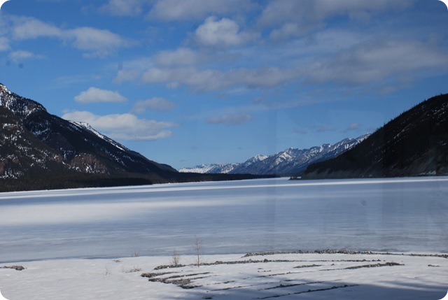
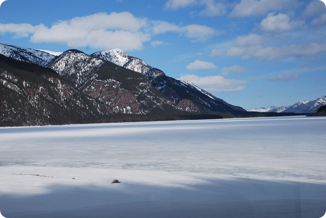
Muncho Lake – also still frozen! For those who have been following the blog, this is the lake that has an incredible blue/green almost turquoise color:
From the Milepost 2009, info on Muncho Lake “Muncho Lake, known for its beautiful deep green and blue waters, is 7 miles in length, and 1 mile in width:elevation is 2,680 feet. The colors are attributed to copper oxide leaching into the lake. Deepest point has been reported to be 730 feet, although government tests have not located any point deeper than 400 feet/122m. The lake drains the Sentinel Range to the east and the Terminal Range to the west, feeding the raging Trout River in its 1,000-foot/305-m drop to the mighty Liard River. The mountains surrounding the lake are approximately 7,000 feet.”
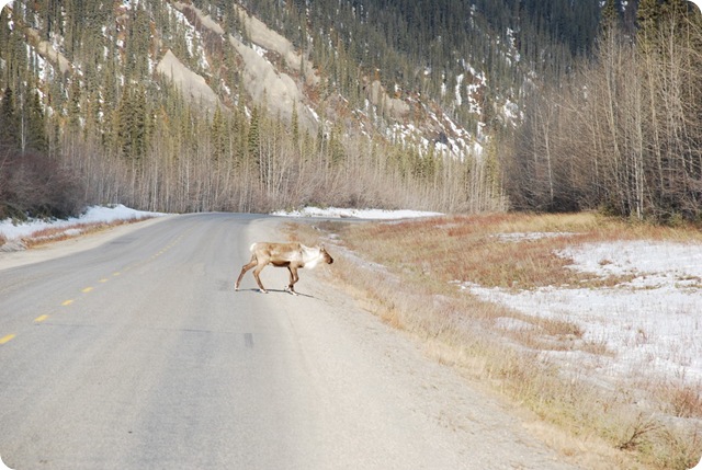
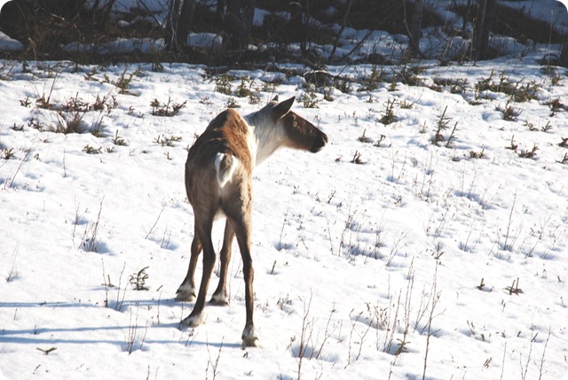
We saw this little lady:
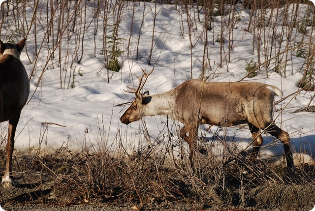
Caribou:
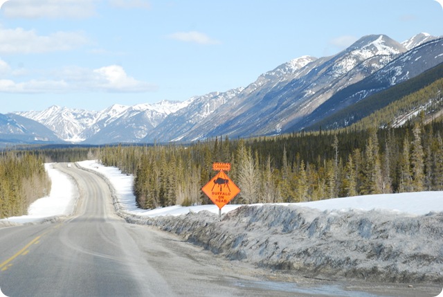
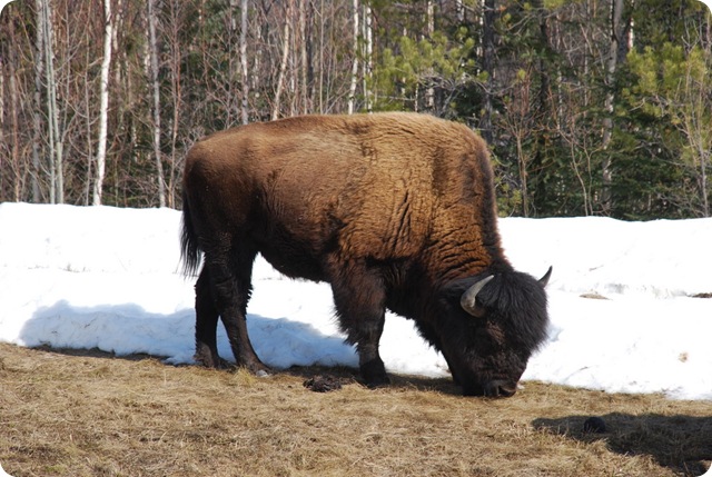
Buffalo – Oh My!!
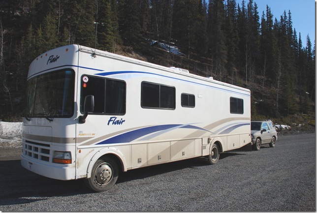
Our poor motorhome and Tracker are getting really dirty:
We have come to Liard Springs Provincial Park and found the campground closed and snowed in but they are allowing camping in the day area. So that is where we are and thoroughly enjoying the hot springs – Oh My (again!!)
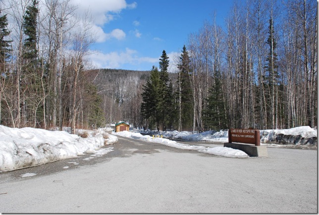
The entrance to the park:
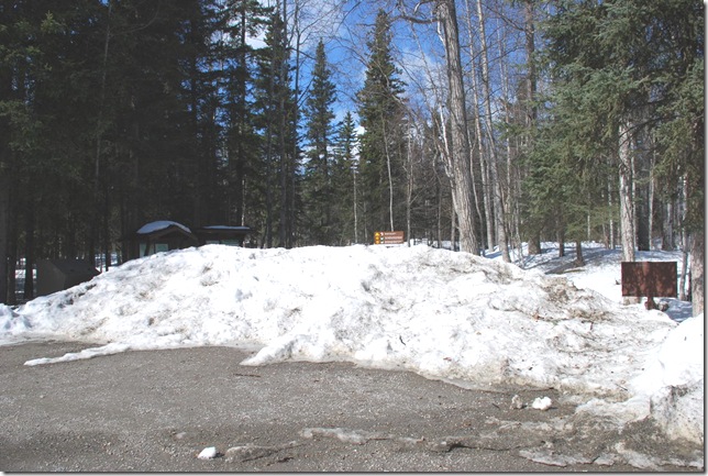
The entrance to the campground:
Armand is here taking care of the place and he remembered us from 2 years ago (the PA people with the flags – LOL). So we had a really nice chat. He told us that they have had record snows this year. Last year at this time the campground was open but due to the snows it will be a little while yet.. oh well.
There are a few people camped here and we joined our neighbors at the campfire tonight. Fred brought out his guitar and we were entertained by him and then by Armand on the guitar. What a great evening. We were told that the last 2 nights the northern lights were very visible here so I am hoping we can stay up to see them – :-)
We are not sure what our next move is going to be – we are checking on the weather and what is open so stay tuned.
Miles Traveled: 140 Miles
Routes Traveled:
BC: PH-97




No comments:
Post a Comment